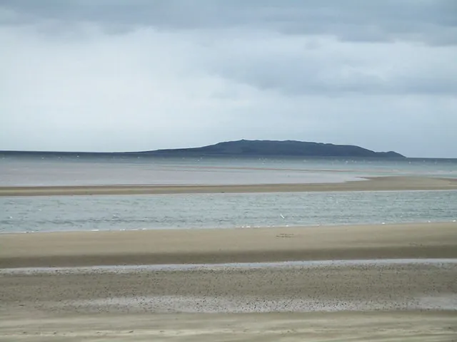
Between the mainland and the Howth peninsula, a strip of sand faces the Irish Sea. This is Burrow Beach, Sutton’s beach. Stretching for around 1.2 km, the shoreline offers a landscape of dunes and sand that contrasts with the rocky slopes of Howth Head. On the horizon, the silhouette of Ireland’s Eye comes into view.
Burrow Beach lies on the northern side of the strip of land linking Howth to the mainland. Its position opens up views towards the Portmarnock coast and, further east, Ireland’s Eye. At low tide, the gently sloping beach leaves plenty of room for a walk on the sand. As the sea rises, the shoreline narrows and the dunes stand out more clearly in the background.
To the west lies Baldoyle Estuary, an important area for birds. On the other side, Ireland’s Eye is home to colonies of seabirds, including northern gannets. The beach is above all a vantage point over these neighbouring habitats. When walking, stay on existing paths to protect the vegetation that holds the dune sand in place.
The beach is well suited to a waterside walk, with enough length to take your time and watch the coastline change with the tide. If you continue towards Howth Harbour, you can reach Claremont Beach on the village side. The two beaches offer different stops, between Sutton’s dune landscape and the shoreline beside the quays in Howth.
The Howth Cliff Path offers sweeping views over the sea. At Burrow Beach, the walk takes place at shoreline level. The two outings complement each other on the same day, whether you start on the sands of Sutton or in the heights of the peninsula.
Essential information to help you plan your visit, including key landmarks, access information, and booking options.
Burrow Road
53.3931, -6.0970
Lifeguard service from 11 am to 7 pm on weekends in June and daily in July and August, according to Fingal County Council.
Check the opening hours and admission requirements before you leave, especially during peak season or on Irish public holidays.
Free access to the beach.