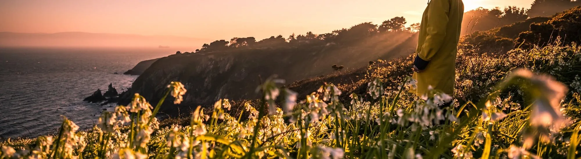
From the DART station in Howth, four waymarked loops lead to the cliffs of the peninsula. The Cliff Path Loop, marked with green arrows, is the classic route. The others share part of the outward path before returning via the former tramway line or extending the walk as far as Red Rock.
All four routes start and finish at Howth station. They first follow the harbour before reaching the cliffs via Balscadden Road. The colour of the arrows becomes crucial at junctions.
| Loop | Waymarking | Distance | Time | Level | Route |
|---|---|---|---|---|---|
| Tramline Loop | Blue | 7 km | 2 hours | Moderate | Cliffs, The Summit, returning via the former tramway line. |
| Cliff Path Loop | Green | 7.8 km | 2 hours | Moderate | Cliffs, The Summit, returning via a path parallel to the outward route. |
| Black Linn Loop | Red | 8.1 km | 2 hours 30 minutes | Moderate | The Summit, around the Ben of Howth and the former tramway line. |
| Bog of Frogs Loop | Purple | 12.1 km | 3 hours | Strenuous | Views of Baily Lighthouse, Red Rock, around the Ben of Howth and returning via the former tramway route. |
Distances and walking times according to Visit Dublin and Sport Ireland. The Fingal walking guide sets out the colours and general route of each loop.
After the harbour, the path climbs, opening up views of Ireland’s Eye. Further on, Baily Lighthouse comes into view before the ascent to The Summit. The green loop returns towards the village on a path parallel to the outward route. To follow the alignment of the former tramway on the return leg, choose the blue loop.
The Bog of Frogs Loop extends the walk beyond the lighthouse area to Red Rock, on the Sutton side. The coast then opens out onto Dublin Bay. The loop subsequently leaves the coast and climbs to skirt the Ben of Howth. The waymarking goes around the hill before joining the former tramway route. With 240 metres of cumulative ascent, allow extra time beyond the indicated three hours if you plan to take breaks.
From Dublin, take a DART towards Howth. Along the cliffs, the terrain is uneven in places and can become slippery after rain. Wear walking shoes, stay on the path and keep away from the edge. Before setting off, check local conditions and follow any diversions indicated on site.
Want to extend your visit without having to rush around? Here are a few well-located places to stay near the must-see attractions.
Essential information to help you plan your visit, including key landmarks, access information, and booking options.
Howth, Howth, County Dublin, Republic of Ireland, Tourist sites in Ireland
53.389018, -6.074218