Just a few streets from Kilronan Pier, the houses give way to limestone plots and paths lined with stone walls. The Lúb Dún Eochla, Inis Mór’s green loop, crosses this landscape before reaching the island’s higher ground, near the fort from which it takes its name. The return route along the coast offers a second perspective on Aran, this time at sea level.
Sport Ireland lists the route as 10 km, 3 hours 30 minutes and 150 m of ascent, starting and finishing at Cill Rónáin Pier, also known as Kilronan. Discover Ireland gives a distance of 8.9 km in its introduction and 10 km in its technical information. If you are planning a walk between ferry crossings, use 10 km as your guide and allow extra time for breaks. The route is marked with green arrows on a white background. Sport Ireland states that dogs are not permitted on the loop.
The walk alternates between quiet roads, grassy paths and stony sections. It suits those who want to spend a good part of the day walking without needing to drive far from the harbour. The ascent is concentrated on the crossing through the island’s interior. The terrain may look gentle from the pier, but the wind is more noticeable on higher ground and the stones can be slippery after rain.
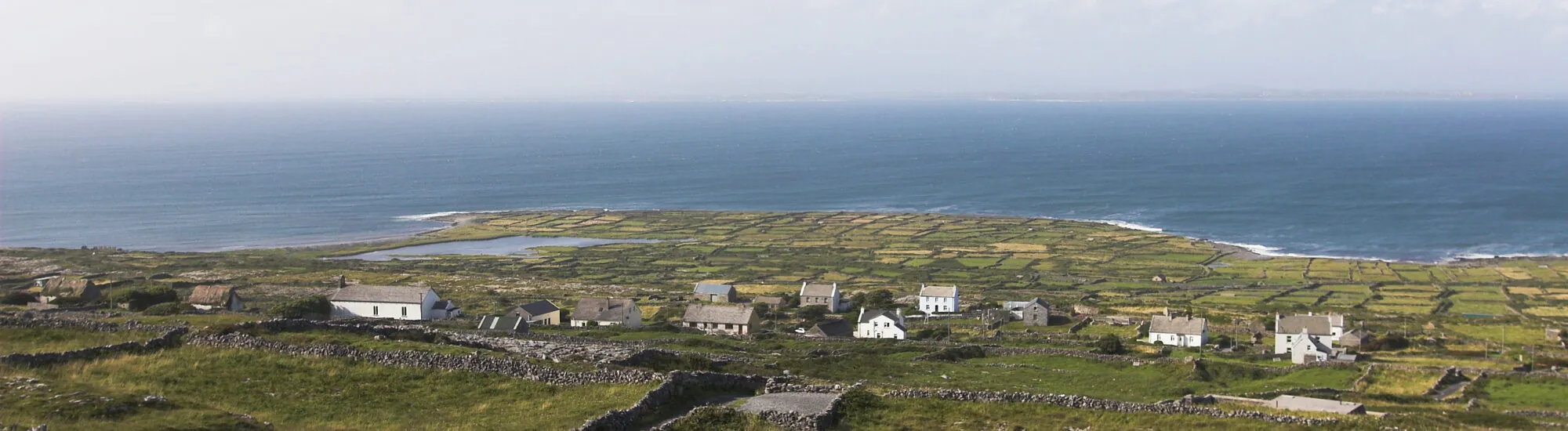
From the pier, look for the starting point near the tourist office. The three loops share the first section. The green, blue and purple arrows lead up stone steps and along a lane before joining the road. Then take the lower road, which gradually leaves the village behind. Here, the walk gives you time to notice the gaps between the stone walls and the narrow plots that shape the landscape.
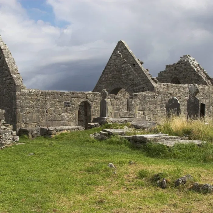
Follow the waymarkers around Teampall Chiaráin. The route passes near this old church, climbs briefly, then returns to the lower road. After the Teampall Asurnaí sign, look for the turning on the left. This is where the green route leaves the blue and purple loops to follow a stony path towards the island’s interior.
The path emerges onto the upper road. The loop follows it briefly before taking another section uphill towards the access point for Dún Eochla. If you wish to visit the fort, allow time for a stop at this junction. The circular stone enclosures are easier to appreciate when viewed from a little distance. In clear weather, the higher ground also offers views across the grid of fields and down to the coast.
The former lighthouse, An Teach Solais, is another landmark on the ridge. Its tower recalls the time when Inis Mór’s light aided navigation in Galway Bay. The contrast with the nearby fort lies in how the high ground was used. For one, the elevation overlooks the surrounding land. For the other, it was intended to make the light visible offshore. To continue on the loop, return to the green waymarkers at the fort junction.
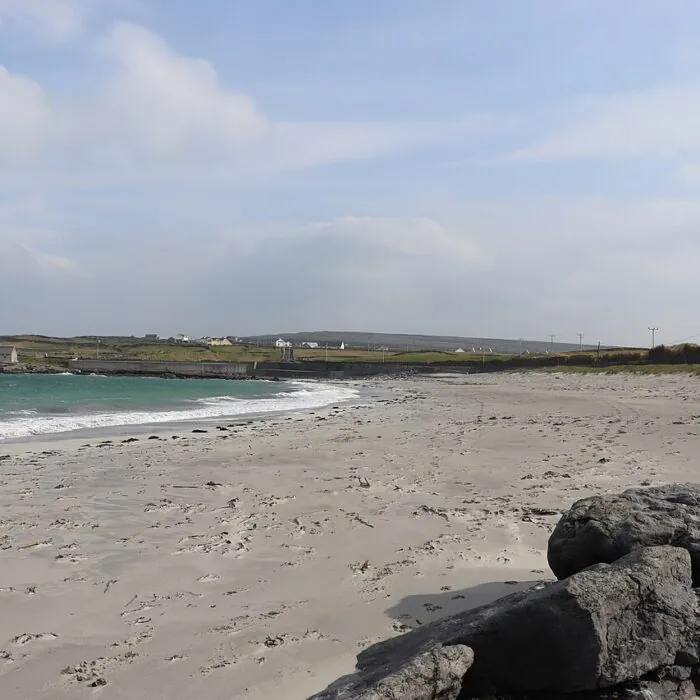
After the high ground, a narrow lane joins the coastal path, where the other colours reappear. The descent gradually brings the sea back into view. Follow the green arrows at track junctions, then turn left at the T-junction near An Poll Mór beach. The final kilometre leads back to Kilronan. This return along the shore offers a different view of the island after crossing its interior.
If you are visiting for the day, work out your timing from the time you need to be at the boarding point. The 3 hours 30 minutes of walking leave little flexibility if you also want time to visit the fort or stop in the village. Bring water, a windproof jacket and footwear with good grip on wet stone. The map available from Sport Ireland helps identify the junctions where several loops meet.
Essential information to help you plan your visit, including key landmarks, access information, and booking options.
Quai de Kilronan, près de l’office de tourisme, Inishmore, Aran Islands, County Galway, Republic of Ireland, Tourist sites in Ireland
53.119049, -9.665551
Access to the loop is free. The ferry crossing is charged.