

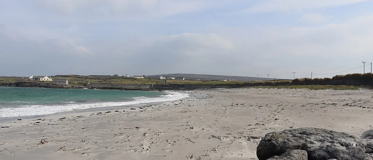
On the north coast of Inis Mór, the stone walls dividing the fields come to an end at a cove of pale sand. This is Kilmurvey Beach, shown as Cill Mhuirbhigh on maps and in local bathing information. Just a few minutes from the hamlet that serves as the starting point for Dún Aonghasa, this beach reveals another side of the largest of the Aran Islands.
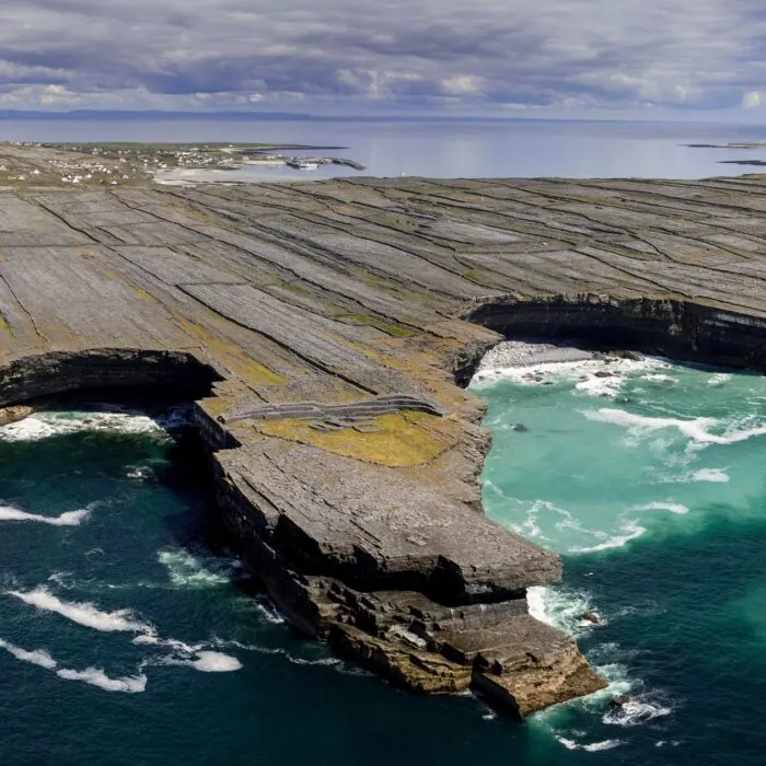
On the island’s south coast, cliffs plunge straight into the Atlantic. At Kilmurvey, the view follows a gentler curve. Sand fills the back of the cove, between rocky edges. When the sky brightens, the shallow water near the shore reveals shades of green and blue above the sand. The tide changes the width of the beach and exposes more or fewer rocks along its sides.
The cove is well suited to a break during a day of cycling. You can head down to walk by the water or take time to look out along the coast from the beach. The dry-stone walls lining the small roads are as characteristic of this part of Aran as the pale sand. They mark out the fields and accompany almost the entire approach from the harbour.
From Kilronan harbour, the journey to Kilmurvey is well suited to cycling and follows the small roads of Inis Mór. The hamlet of Kilmurvey is close to the visitor centre for Dún Aonghasa. To reach the fort, you must then follow its own walking path. Allow time for this climb if you plan to see both the fort and the beach before the return ferry.
Approaching from Kilronan along the coastal road, Port Chorrúch is another stop. It is a place to look for seals from the shore, depending on the tide and whether they are present. At Kilmurvey, it is the sandy cove that makes the stop worthwhile. By treating these as two separate stops, you can enjoy the scenery without relying on wildlife sightings to plan your outing.
Essential information to help you plan your visit, including key landmarks, access information, and booking options.
Route côtière de Kilmurvey, Inishmore, Aran Islands, County Galway, Republic of Ireland, Tourist sites in Ireland
53.1315, -9.74999
Seasonal lifeguard cover is scheduled from 12 noon to 4pm at weekends in June, daily in July and August, then at weekends until the second weekend in September. Check the timetable each season with Galway County Council.
Check the opening hours and admission requirements before you leave, especially during peak season or on Irish public holidays.
Free access to the beach.