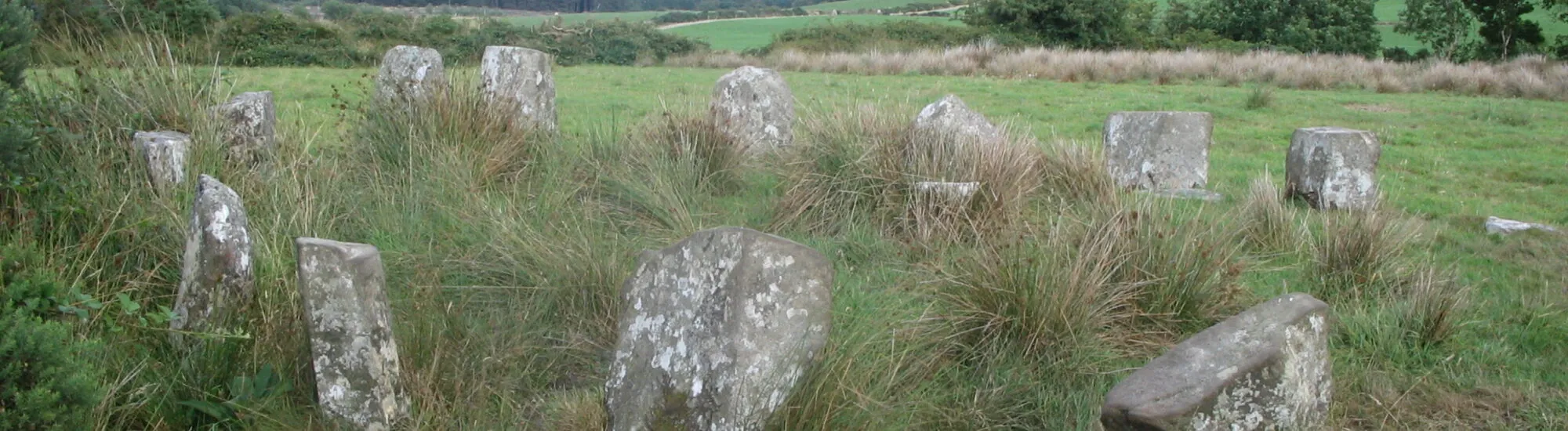
Carrigagulla is a megalithic complex located 3km north-east of Ballinagreen in County Cork. The program includes stone circles, oghams and alignments: a plunge into the heart of a prehistoric Ireland that left its mark…
Carrigagulla is a group of megaliths that was relocated in the 20th century by County Cork. Its current location is therefore not its original one. Today, the site consists of :
The first stone circle measures 8.2 metres in diameter and comprises 16 stones, one of which would be off-centre. Their height varies between 30 and 90cm. A large megalith would be placed at the center of the circle, and would have served as a ritual site in the past.
The second stone circle is composed of 15 menhirs, arranged around a central slab. More imposing, the latter was originally composed of 17 menhirs, but some of these megaliths have curiously disappeared over the centuries…
250 metres further north lies another megalithic formation. Installed near the River Laney, it would be composed of just 5 or 6 stones, forming a kind of D.
The site also boasts 2 stone alignments, the first comprising 5 megaliths, the second 3.
Essential information to help you plan your visit, including key landmarks, access information, and booking options.
52.009716, -8.914112