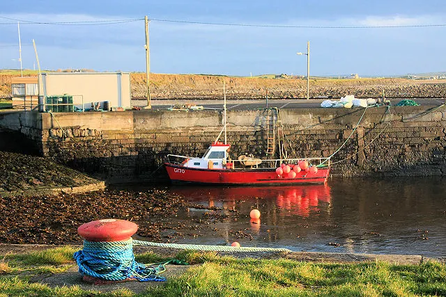
From the quays of Liscannor Harbour, the view stretches across the bay towards Lahinch. In the foreground, two stone piers shelter the boats. The contrast between this enclosed basin and the open Atlantic says much about the village’s history. On this exposed coast, having a safe haven changed the working conditions for fishermen and also made it possible to load stone quarried nearby.
The harbour developed in stages. Clare’s coastal heritage survey already records a pier on a map from the late 18th century. The dressed-stone structures described in Ireland’s architectural inventory point to two major phases of construction, around 1830 and 1880. This chronology can be seen in the harbour’s layout, with two arms enclosing a basin and sloping slipways at its far end.
In 1837, a description of Liscannor already noted the usefulness of the quay for small fishing boats and merchant vessels. It also recorded that the sea had damaged it several times. The bay offers relative shelter, but its exposure to the Atlantic and rocky shores explain the efforts devoted to protecting boats and maintaining the structures.
In the 19th century, fishermen worked in a bay known in particular for lobster and turbot. The quays also handled heavier trade. Coal arrived by boat, while stone from quarries near the cliffs was shipped out by sea. To understand the role of this small basin, it is therefore necessary to look inland as well. The harbour linked quarrying sites and coastal workshops with markets beyond what the village alone could offer.
As you walk along the edge of the basin, look for the ladders built into the masonry, the mooring posts and the old cast-iron lamp posts. At low tide, the water level reveals more of the walls and slipways. It then becomes clear how crews could move between quay and boat at different water levels. The harbour still supports fishing and leisure activities. Depending on the time of day, you may see boats at their moorings or crews preparing their equipment.
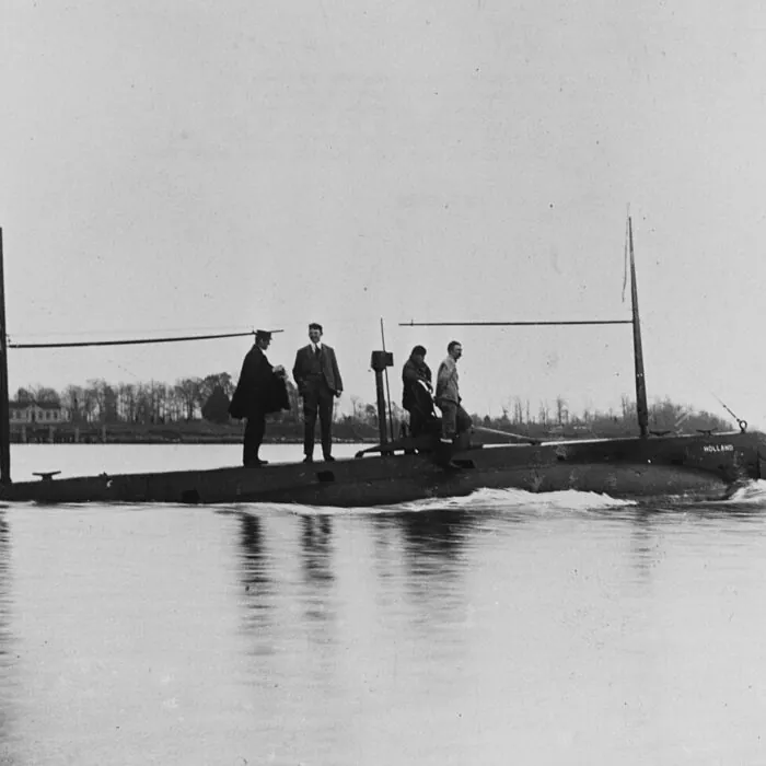
At the Cliffs of Moher, the landscape is viewed from above. Here, from the water’s edge, you can appreciate the width of the bay and make out Lahinch on the opposite shore. The walk can easily be combined with a visit to the John P. Holland Centre. The museum tells the story of an inventor born in the village. The harbour offers a glimpse of the maritime setting in which he grew up, between the boats in the basin and the open expanse of the Atlantic.
Want to extend your visit without having to rush around? Here are a few well-located places to stay near the must-see attractions.
Essential information to help you plan your visit, including key landmarks, access information, and booking options.
Harbour Road, Liscannor, County Clare, Republic of Ireland, Tourist sites in Ireland
52.93822, -9.38690
Working harbour, with no published visiting hours. Please observe local signage and working areas.
Check the opening hours and admission requirements before you leave, especially during peak season or on Irish public holidays.
Free to walk around the publicly accessible areas.