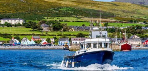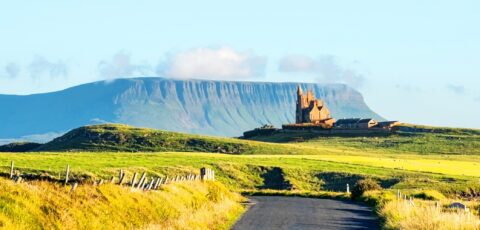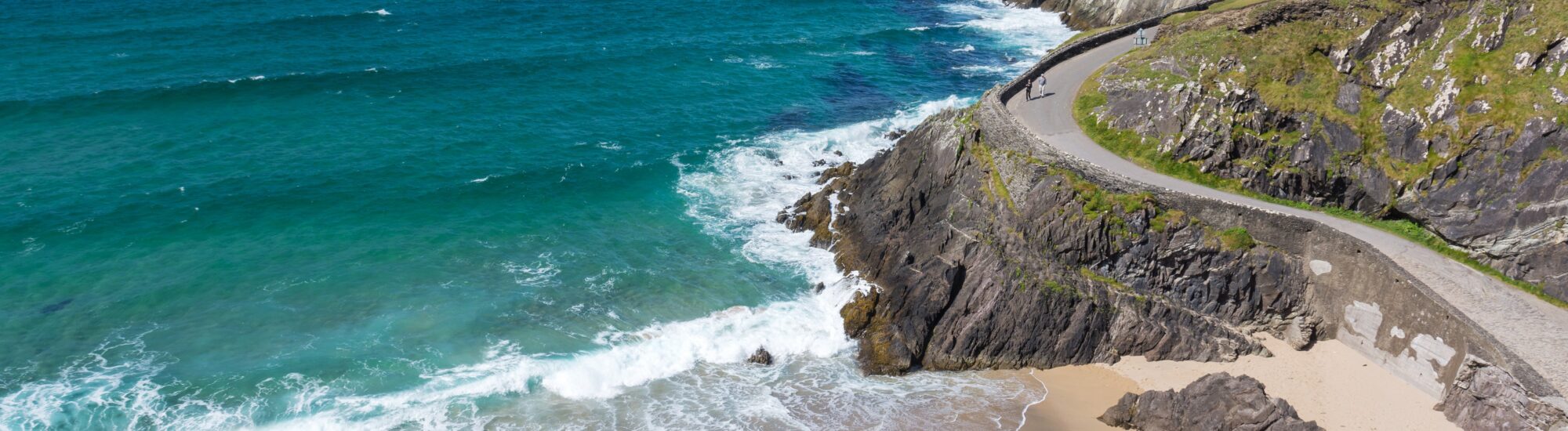
The Dingle Way is a hiking trail in the heart of the Dingle Peninsula, County Kerry, Ireland. 153km long, this circuit circumnavigates the peninsula, offering breathtaking scenery of bays, beaches and magnificent cliffs.
The Dingle Way (Sli Chorcha Dhuibhne in Gaelic) starts in Tralee, then passes through Camp, Cloghane, Ventry, Dingle, Annascaul, Inch, Killelton and ends at the starting point, Tralee.
Of course, you’ll need several days to complete the tour, but the difficulty isn’t insurmountable either, and should suit walkers of average ability.
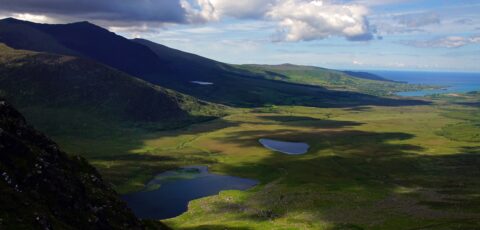
The path, marked in black and yellow, takes you past magnificent sites, including megaliths and ruined castles (such as Ballycarberry Castle). For the more courageous, you can also climb the Col de Brandon, which rises to 640 metres. A breathtaking view of the surrounding area and the sea!
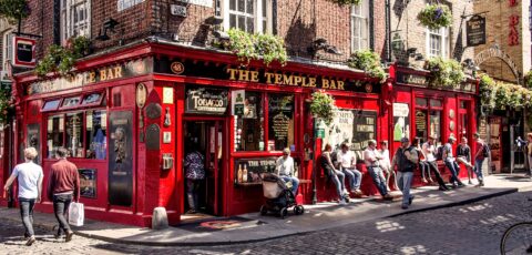
Don’t hesitate to set off well-equipped, with a windbreaker and a good sweater: some areas are very windy, as they are exposed to the ocean! As far as stops and accommodation are concerned, don’t hesitate to take a break in one of the many villages along the route. All offer restaurants, Irish pubs and cosy B&Bs.
 Opening hours :


 Address:
 GPS :
GPS :


 3.30/5 (10 votes)