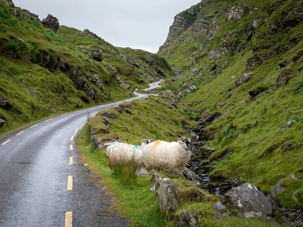
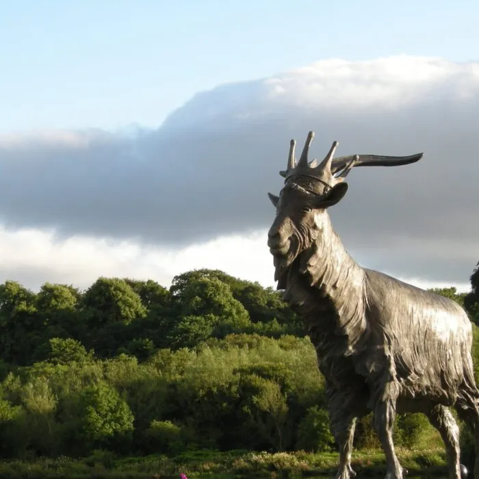
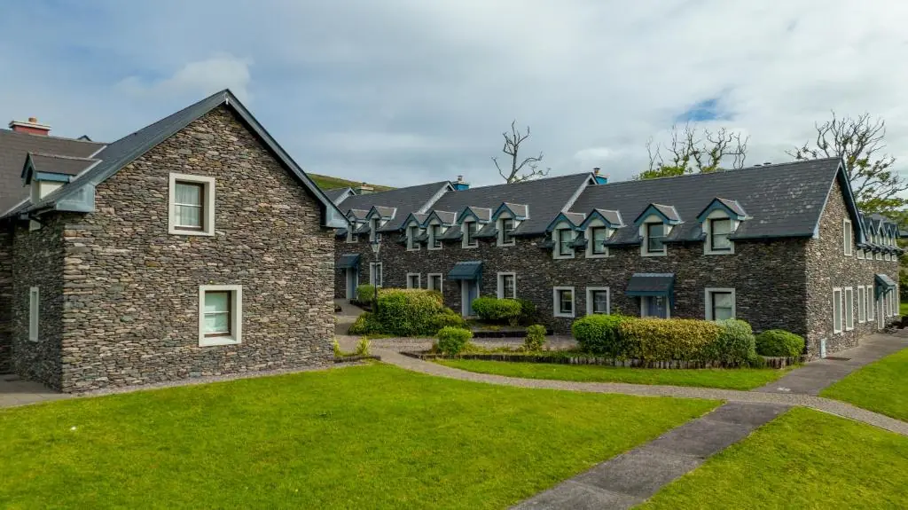
County Kerry is one of Ireland’s major tourist regions. Its appeal lies in the combination of several very different areas: Killarney and its national park, the Iveragh Peninsula and the Ring of Kerry, the Dingle Peninsula, the north around Tralee and Listowel, and the part of Beara located within the county. These are joined by the country’s highest mountains and several Atlantic archipelagos.
Understanding County Kerry
A region of peninsulas, mountains and valleys
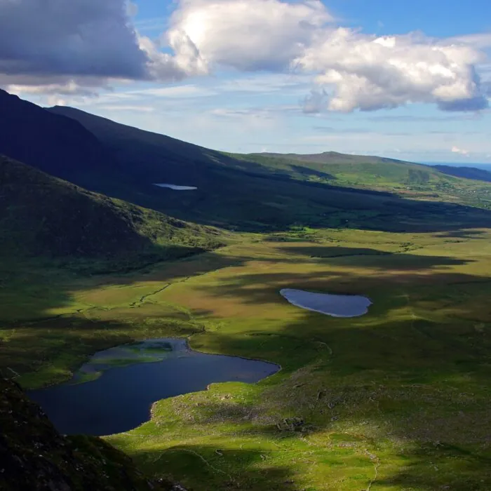
Kerry had a population of 156,458 in the 2022 census. Its terrain and highly indented coastline make distances deceptive, however: two places that are close as the crow flies may require a long road detour. This geography explains why it is best to organise a stay by area.
The county is nicknamed “The Kingdom”, a name deeply associated with its local identity. Tralee is its administrative centre, but Killarney is its main tourist hub.
Killarney and the mountainous heart of the county
The main base in south-eastern Kerry
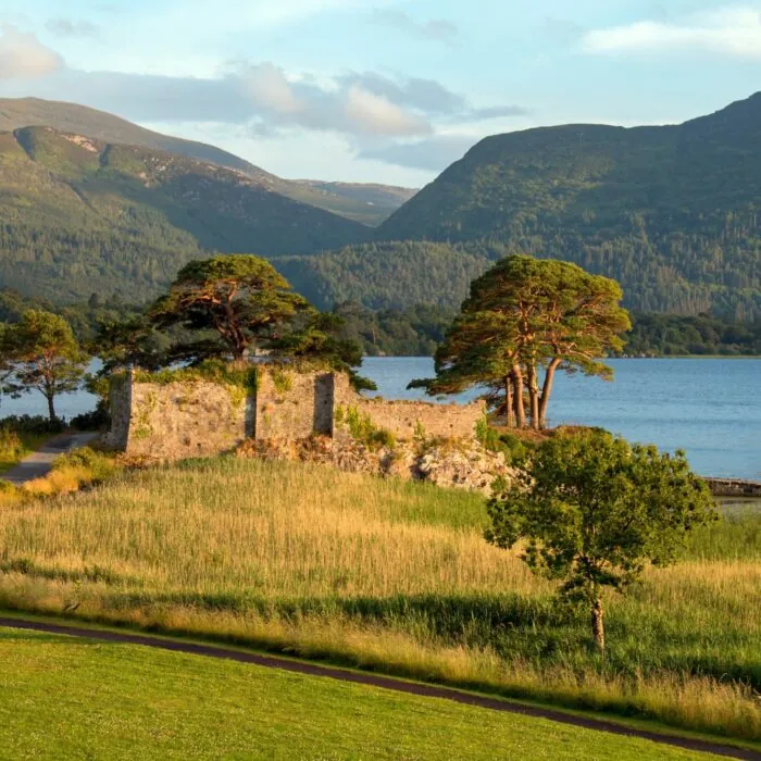
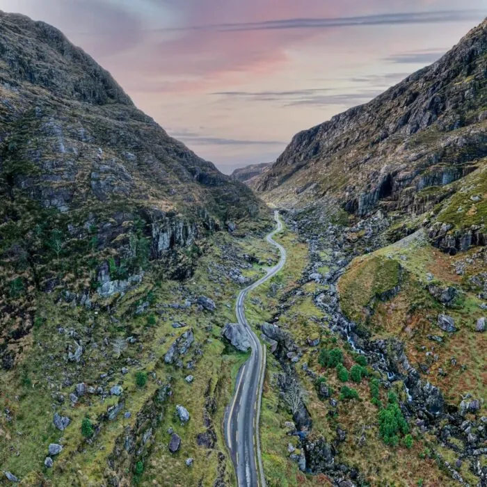
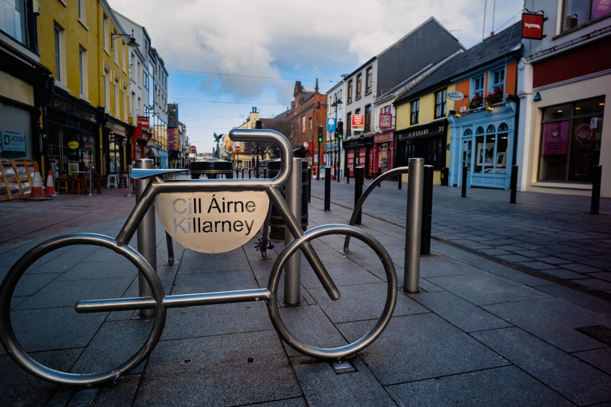
Killarney lies next to the national park, the lakes and MacGillycuddy’s Reeks. Its location provides access to the Ring of Kerry, the Gap of Dunloe and several mountain valleys. This concentration explains its tourist importance, but the town should not become a summary of the county.
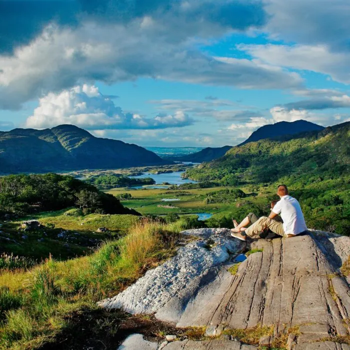
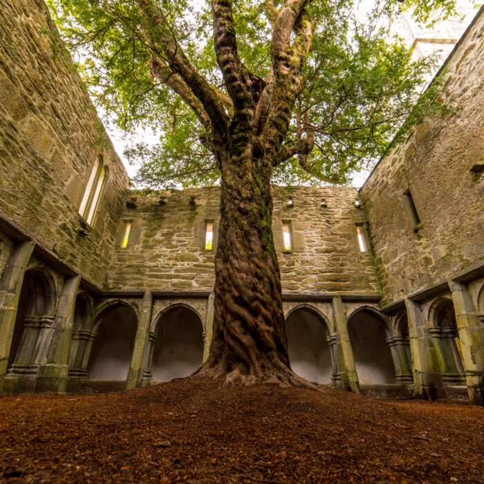
Killarney National Park, Muckross, Torc, Ladies View, the Gap of Dunloe and the walking routes have dedicated content on Guide-Ireland. At the scale of Kerry, Killarney should primarily be understood as a gateway to the inland landscapes and the Iveragh Peninsula.
The Iveragh Peninsula
The region of the Ring of Kerry
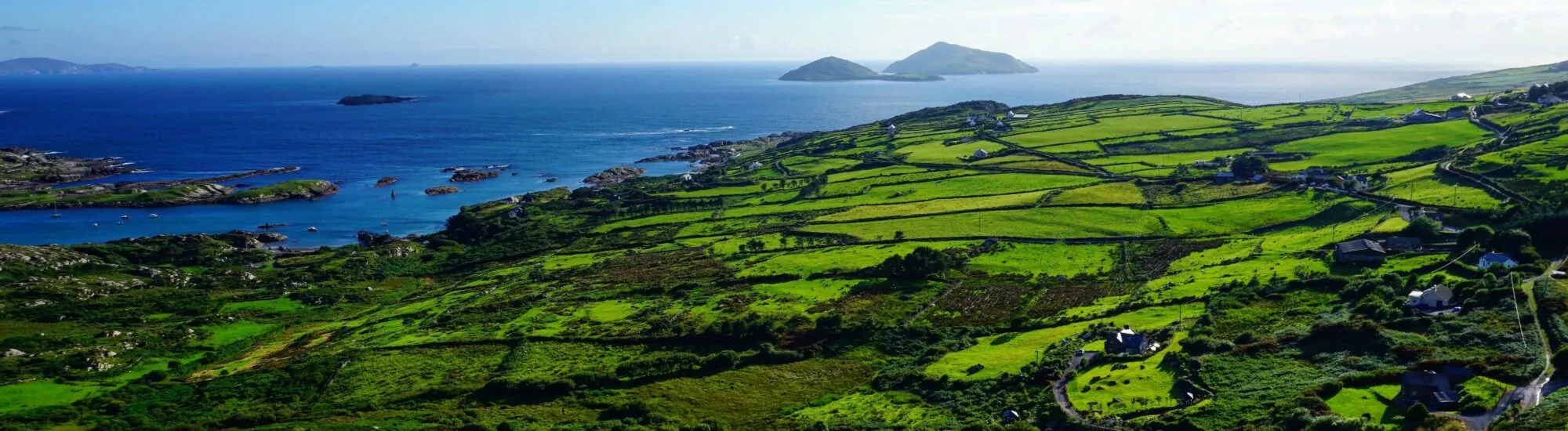
Iveragh occupies a large part of the south-western county. The Ring of Kerry circles it and connects Killorglin, Cahersiveen, Waterville, Caherdaniel, Sneem and Kenmare through a succession of coasts, mountains and valleys.
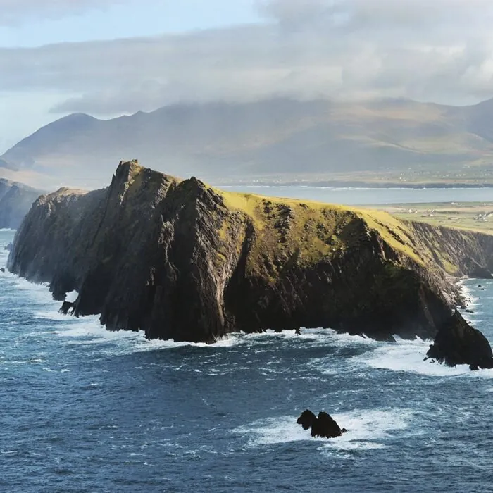
Iveragh’s appeal extends far beyond the tourist road. Valentia Island, Portmagee, the Irish-speaking areas in the west, the mountains and the small towns form an area that deserves several days. The Kerry Cliffs, the Ring of Kerry and the specific sites should remain detailed in their own pages.
The Skelligs and the western tip
An exceptional island heritage
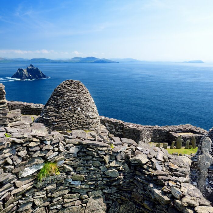
Skellig Michael and Little Skellig rise offshore from Iveragh. The early Christian monastery of Skellig Michael is a UNESCO World Heritage Site. Crossings are seasonal and heavily dependent on sea conditions.
This constraint must be taken into account when organising a stay: a trip to the Skelligs should never be the only planned element of a day without a backup option. Precise visitor arrangements belong in the dedicated content.
The Dingle Peninsula
A cultural and scenic region in its own right
North of Iveragh, the Dingle Peninsula has its own identity. Dingle town, Slea Head, the Blasket Islands, the western landscapes and the Gaeltacht of Corca Dhuibhne justify several days of discovery.
It is important to distinguish it clearly from the Ring of Kerry, both for readers and for SEO: Dingle is not simply one stop on the same circuit. It is a distinct region, with its own roads, villages, archaeological sites and linguistic traditions.
Tralee and northern Kerry
An area often overshadowed by the peninsulas
Tralee is the county’s main urban centre and a gateway to the Dingle Peninsula. Further north, Listowel, Ballybunion and the Feale valley reveal a different Kerry, less mountainous and less directly associated with the major southern circuits.
This part of the county has a strong literary, agricultural and sporting tradition. It also provides a natural continuation towards Clare and the Shannon Estuary.
Kenmare and Beara on the Kerry side
The transition towards County Cork
Kenmare occupies a strategic position between Iveragh and Beara. The Beara Peninsula is shared between Kerry and Cork; its northern part allows visitors to explore a quieter coastline and mountain roads that are less frequented than the Ring of Kerry.
This location makes Kenmare an excellent base for travellers wishing to combine several peninsulas without continually returning to Killarney.
Gaeltacht, islands and cultural identity
A culture that remains connected to the land
Kerry includes Gaeltacht areas on the Dingle Peninsula and in western Iveragh. The Irish language, traditional music, Blasket literature and Gaelic football all contribute to a particularly strong local identity.
These elements are best placed within their geography rather than isolated in a list of traditions: the terrain, insularity and history of the coastal communities have profoundly influenced the county’s culture.
How should you organise a stay in Kerry?
Do not try to do Dingle and the Ring of Kerry in a single day
Three days is the minimum needed to discover one part of Kerry without rushing. With five to seven days, it becomes possible to combine Killarney, Iveragh and Dingle, or even part of the north or Beara.
A car offers the greatest freedom, but narrow roads and numerous scenic stops slow down travel. Killarney, Tralee and some towns are served by train or bus, but rural areas and the peninsulas are easier to explore with a vehicle.
This taxonomy should therefore function as a mental map of Kerry. The pages dedicated to Killarney, Dingle, the Ring of Kerry, Skellig Michael, the Kerry Way, Carrauntoohil and the various sites retain their own depth, while this page explains how all these destinations fit together.


 +
+
 Tourist attractions
 Irish Restaurants and Pubs
 Partner Accommodations
 Campgrounds and Lodging