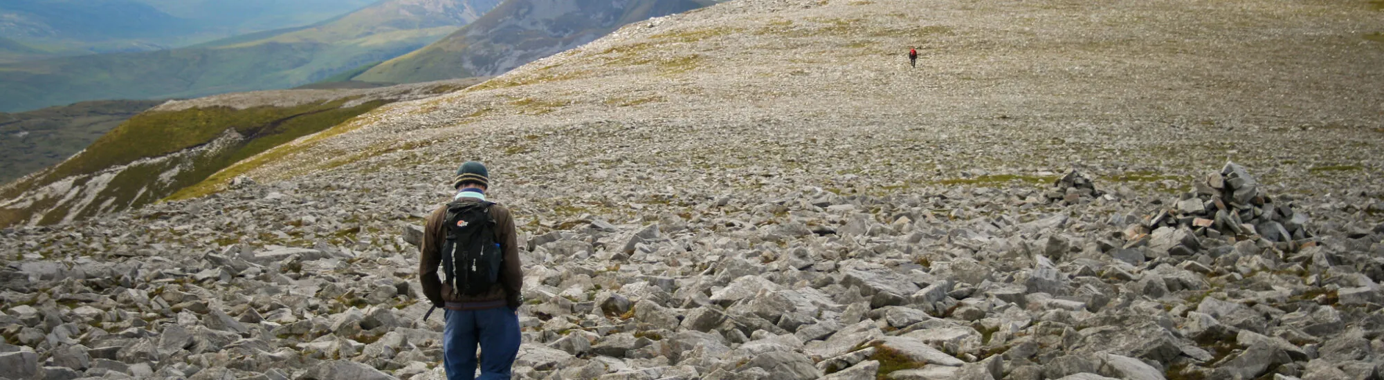
Muckish Mountain (Irish: Mucais or Mhucais in Gaelic) is a mountain in County Donegal, part of the Derryveagh Mountains. Peaking at 666 metres, this mountain has the distinctive feature of a flat summit, with no peaks or passes. Considered to be the 3rd largest mountain in the Derryveagh Mountains, it’s one of the coolest peaks in the world to hike!
Muckish Mountain has a hiking trail known as “Miner’s Path”.
It provides access to the summit via the north face, taking the old route used by miners of the time to reach a quartz and sand quarry on the side of the mountain. At the time, the sand extracted was used to manufacture optical lenses. In fact, you can still admire the site: although it’s been condemned, the quarry’s infrastructure is still visible.
To the south of the summit is an imposing cairn dating from the Neolithic period. Although in ruins, it is one of the largest groups of megaliths in County Donegal.
The mountain offers lovely views of the surrounding villages, including Falcarragh, Moyra, Dunfanaghy and Creeslough. You can also make out the Bridge of Tears, an emblematic bridge in the county’s history. You’ll also come across a metal cross on the north side of the summit, added in 2000 to replace an earlier wooden cross damaged by storms.
Want to extend your visit without having to rush around? Here are a few well-located places to stay near the must-see attractions.
Essential information to help you plan your visit, including key landmarks, access information, and booking options.
Derryveagh Mountains, Gortnaleck (County Donegal) - Republic of Ireland
55.100588, -8.004509
free access
Check the opening hours and admission requirements before you leave, especially during peak season or on Irish public holidays.