County Donegal, Contae Dhún na nGall in Irish, occupies the extreme north-west of the Republic of Ireland. Bordered by the Atlantic and connected to the rest of the Republic by a short border with County Leitrim, this vast territory of Ulster is distinguished by its geographical isolation, deeply indented coastline, mountains, boglands and particularly strong cultural identity.
Donegal is one of the great territories of the Wild Atlantic Way. Visitors come for the Slieve League cliffs, the landscapes of Glenveagh National Park, Mount Errigal, the Inishowen Peninsula and the headlands of Fanad and Malin Head. But reducing the county to its panoramas would mean missing what matters most: Donegal also contains one of the country’s principal Irish-speaking regions, an important musical and textile tradition, and a heritage that tells the story of several millennia of history.
Understanding County Donegal
A distinctive territory in north-west Ireland
Donegal historically belongs to the province of Ulster, only three of whose counties—Donegal, Cavan and Monaghan—are now located in the Republic of Ireland. Its situation is unusual: most of its land border is shared with Northern Ireland, while a narrow corridor towards Leitrim connects it to the rest of the Republic.
This geography partly explains the sense of remoteness felt when travelling through the county. Road distances are often longer than they appear on a map: bays, peninsulas, mountains and minor roads impose numerous detours. Donegal is therefore best discovered slowly, by organising a stay by area rather than trying to visit all the main sites in a single day.
With approximately 4,860 km², Donegal is one of Ireland’s largest counties. It had 167,084 inhabitants at the 2022 census. Letterkenny is its principal urban centre, while Lifford is the county’s administrative capital. Donegal Town, despite its name, is therefore neither the most populous town nor the administrative capital of the area.
A spectacular Atlantic coast
Cliffs, headlands, beaches and peninsulas shape the landscape
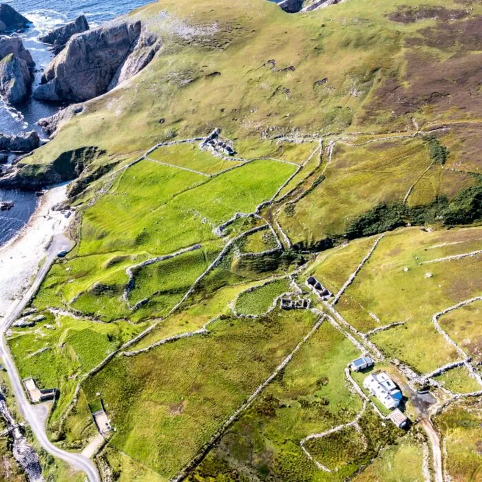
The coastline is one of the guiding themes of a trip to Donegal. The coast alternates between long beaches, cliffs, estuaries, small islands and rocky promontories exposed to the Atlantic winds. This highly indented geography explains the diversity of landscapes encountered from one area to another.
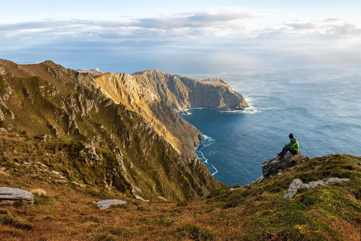
In the south-west, the Slieve League cliffs are among the county’s best-known natural landscapes. They rise abruptly above the ocean and offer a much more mountainous setting than many other Irish cliffs. The roads around Glencolmcille, Ardara and Killybegs make it possible to explore this part of Donegal without reducing the trip to this single iconic site.
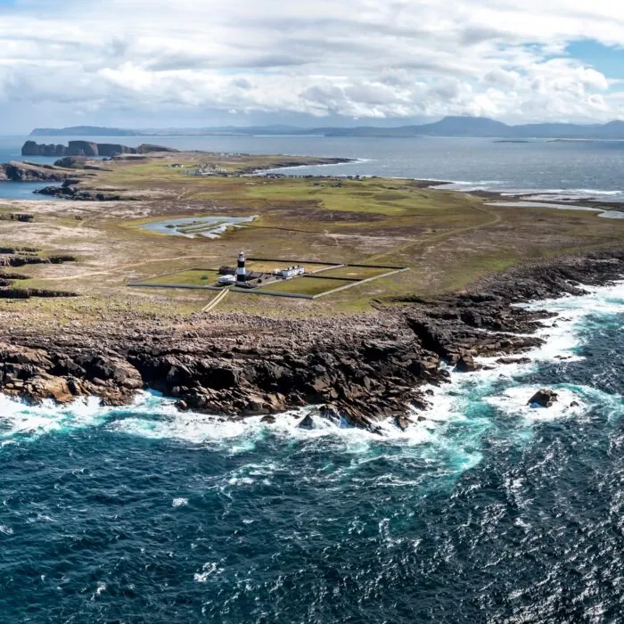
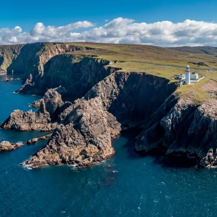
Further north, Horn Head overlooks the Atlantic near Dunfanaghy, while the Fanad Peninsula extends between Lough Swilly and Mulroy Bay. Its lighthouse, standing at the tip of the peninsula, has become one of the iconic images of northern Donegal.
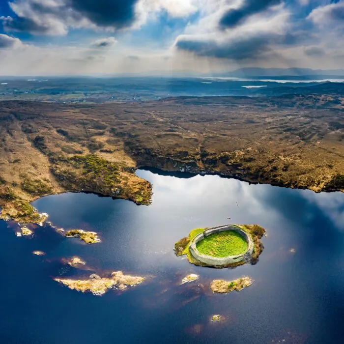
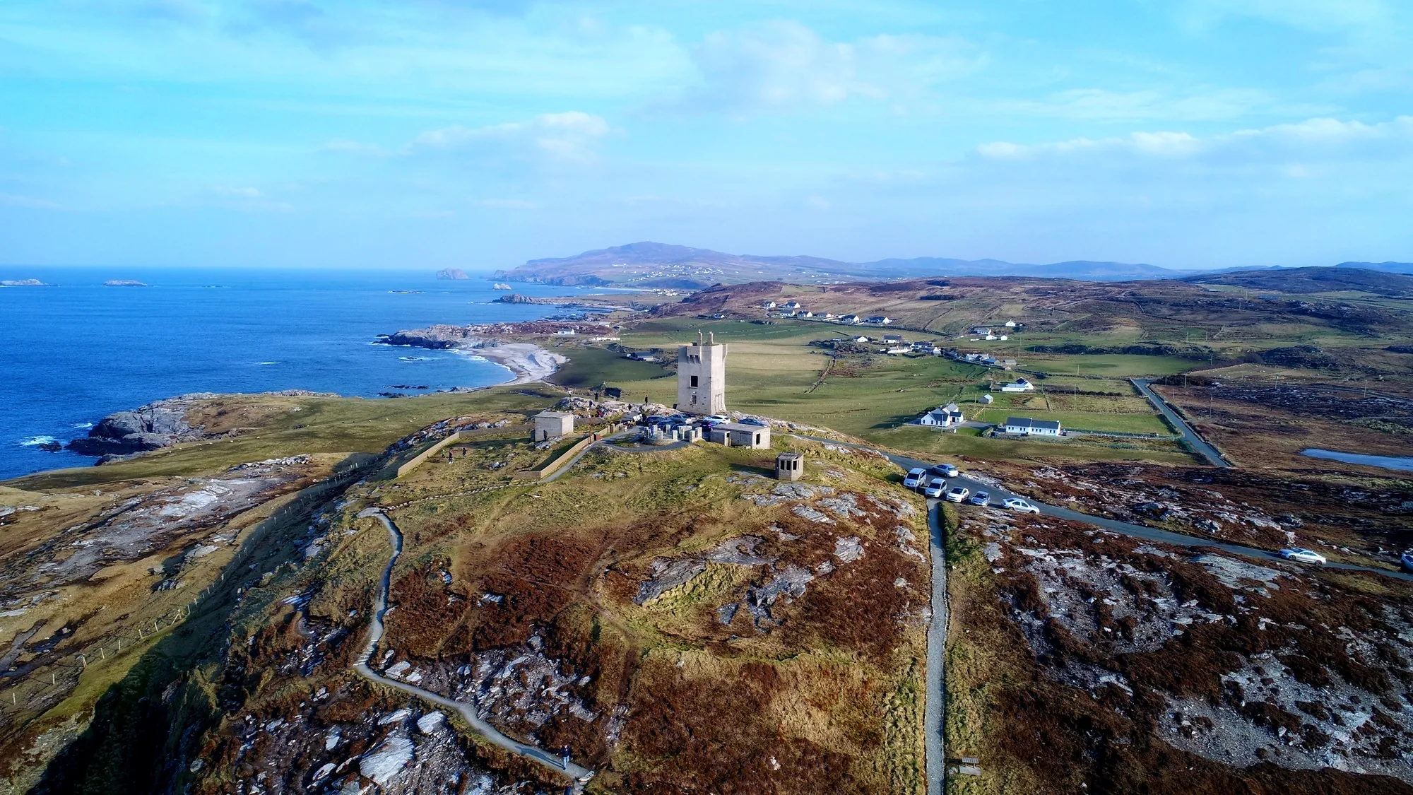
The Inishowen Peninsula forms an almost separate territory. It brings together villages, beaches, ancient forts and coastal roads leading to Malin Head, the northernmost point of the island of Ireland. This rocky extremity offers a landscape opening onto the North Atlantic, particularly impressive when the wind and swell strengthen.
The mountains and Glenveagh National Park
The wild heart of Donegal
The county’s interior is dominated by granite uplands, glacial valleys, lakes and vast expanses of bogland. The Derryveagh Mountains make up a large part of this landscape and are home to several of Donegal’s most distinctive peaks.
Errigal, which reaches 751 metres, is the county’s highest point. Its conical profile dominates the surroundings of Dunlewey and Gweedore and is one of the most recognisable natural landmarks in north-west Ireland. Its ascent offers broad panoramas, but conditions can change quickly: wind, rain, fog and wet ground mean that caution is required even when the hike appears relatively short.
Nearby lies Glenveagh National Park. Created around a vast glacial valley, it protects mountains, lakes, boglands and natural habitats in the heart of the Derryveagh Mountains. Glenveagh Castle, built in the 19th century on the shores of Lough Veagh, creates a striking contrast with the wild character of the surrounding landscapes.
The park is an excellent introduction to inland Donegal. Several routes allow visitors to discover the valley and its surroundings without necessarily undertaking a high-mountain hike.
Donegal and the Irish language
One of the great Gaeltacht areas
The Irish language occupies an important place in Donegal’s identity. A significant part of the county’s west belongs to the Gaeltacht, the name given to regions where Irish remains a community language and has a particular status.
The Donegal Gaeltacht extends notably around Gaoth Dobhair (Gweedore), Cloch Cheann Fhaola, Na Rosa, Gleann Cholm Cille and several islands. Road signs and place names frequently appear in Irish, and the language remains in use in everyday life, education, the media and cultural activities.
Donegal’s traditional dialect belongs to Ulster Irish. It has pronunciation, vocabulary and grammatical features that distinguish it from the varieties of Connacht and Munster. It is therefore not “Scottish Gaelic” spoken in Ireland, even though Irish and Scottish Gaelic are historically related Gaelic languages and naturally share certain similarities.
This linguistic presence gives the north-west of the county a particularly strong identity. For travellers, it can be discovered as much in signage and place names as in music, local media and everyday exchanges.
A history shaped by the clans of Ulster
From prehistoric monuments to the end of the Gaelic order
Settlement in Donegal dates back several millennia. Megalithic tombs, standing stones and other archaeological remains bear witness to the territory’s ancient occupation. The Beltany stone circle near Raphoe and the monuments of the Inishowen Peninsula, for example, remind us that the county’s history long predates the medieval kingdoms with which it is often associated.
During the Middle Ages and the beginning of the modern period, the territory corresponding to Donegal was notably dominated by the O’Donnells, one of Ulster’s great Gaelic dynasties. Their power was centred on the kingdom of Tyrconnell, or Tír Chonaill, whose name remains deeply associated with the county’s historical identity.
Donegal Castle bears witness to this period. The fortress was built in the 15th century by the O’Donnells before being remodelled after the English conquest. Regional history is also linked to the Nine Years’ War and the Flight of the Earls in 1607, an episode that symbolically marked the collapse of the old Gaelic political order in Ulster.
The following centuries were marked by changes in land ownership, the plantations of Ulster, emigration and rural poverty. Like much of western Ireland, Donegal was severely affected by the Great Famine of the 19th century. The lasting emigration that followed profoundly marked local communities and created important links with Great Britain, the United States and other parts of the world.
Donegal Town, Letterkenny and the main towns
Complementary bases for exploring the county
Donegal does not have a single town concentrating all of its tourist activity. Instead, several towns play complementary roles depending on which part of the county visitors wish to discover.
Letterkenny is the principal urban and commercial centre. Its position makes it a practical base for reaching Glenveagh, Fanad, the north coast and the Lough Swilly valley. The town also has shops, restaurants and useful services for an itinerant stay.
Donegal Town lies further south, at the head of Donegal Bay. Its castle and compact centre make it a pleasant stop from which to explore Killybegs, Slieve League and the south-west of the county.
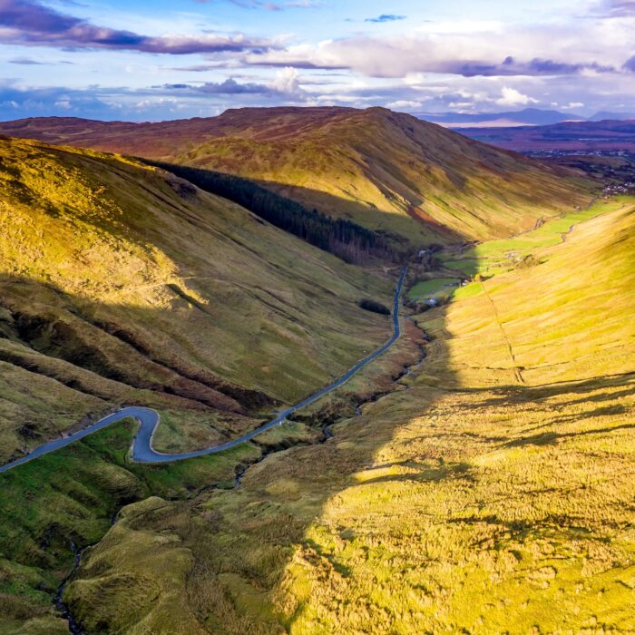
Ardara is known for its textile crafts and is a good gateway to Glengesh Pass and the western coast. Dunfanaghy makes it possible to explore Horn Head and the north-western landscapes, while Buncrana is one of the main bases for touring the Inishowen Peninsula.
These distances often make it worthwhile to change accommodation during a stay of several days rather than using a single town as a base for everything.
Islands, beaches and seascapes
A Donegal facing the ocean
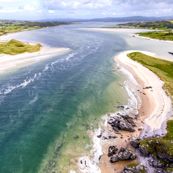
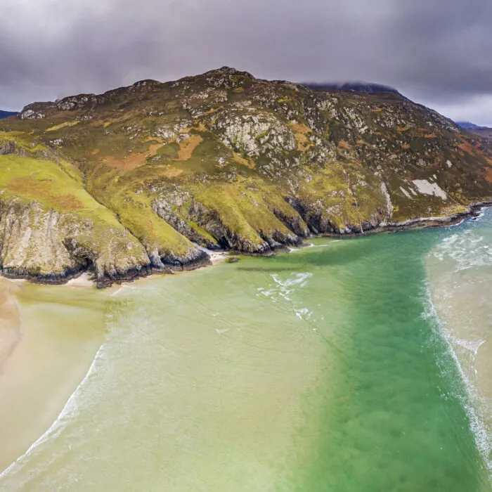
The relationship with the sea extends far beyond the great headlands. Donegal has many sandy beaches, some very extensive, which rank among the most beautiful in north-west Ireland. Some are suitable for walking or surfing, but exposure to the Atlantic means that currents and swell can make swimming dangerous outside supervised areas and periods.
Several inhabited or formerly inhabited islands extend this maritime identity. Arranmore, accessible by ferry from Burtonport, is Donegal’s largest inhabited island. Tory Island, more isolated off the north-west coast, has a strong cultural and linguistic identity. However, crossings depend on sea conditions and should be checked before departure.
Ports have also shaped the local economy. Killybegs is home to one of Ireland’s main fishing ports and is a reminder that the ocean here is as much a working environment as a tourist landscape.
Music, tweed and Donegal culture
An identity that cannot be reduced to landscapes
Traditional music occupies an important place in the county. Donegal has a particularly recognisable fiddle tradition, passed down through several generations of musicians and still present in sessions, festivals and local gatherings.
Textiles are another major element of the region’s heritage. Donegal tweed is renowned for its woollen fabrics, often featuring flecks of contrasting threads. Ardara is particularly associated with this tradition, but weaving and wool work are more broadly connected with the economic history of the county’s rural communities.
This culture remains alive rather than merely heritage-based. The Irish language, music, crafts and attachment to local communities give Donegal a personality very different from that of Irish regions more strongly organised around large urban centres.
How should you organise a stay in Donegal?
Allow several days and plan by area
Donegal is poorly suited to express visits. Its size, the shape of its coastline and its road network make journeys longer than straight-line distances suggest. A single day allows visitors to discover only a small part of it.
For a first trip, it is more coherent to choose two or three areas: for example, Donegal Town and Slieve League in the south-west, Glenveagh and Errigal in the central north, then Fanad or Inishowen further north. This arrangement limits long days in the car and allows more time for hikes, villages and the landscapes in between.
A car remains the most practical way to explore the county in depth. Public transport serves the main towns, but does not always make it easy to reach isolated natural sites. On minor roads, which can be narrow, allow comfortable travel times and avoid creating an overly tight schedule.
Donegal rewards precisely this slower pace. Between two famous sites, it is often an almost empty beach, a mountain road, a small harbour or a Gaeltacht village that gives a trip its most memorable character.


 +
+
 Tourist attractions
 Irish Restaurants and Pubs
 Partner Accommodations
 Campgrounds and Lodging