


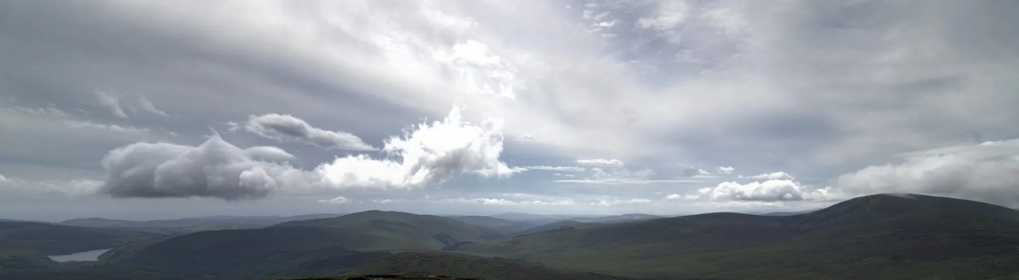
Mullaghcleevaun is the second highest mountain in the Wicklow Mountains. Called Mullach Cliabháin in Irish Gaelic, it appears as a pebbled mountain, peaking at over 849 meters above sea level. A vertiginous summit, which can be admired along the R115!
Mullaghcleevaun is located in the heart of the Wiklow Mountains, less than 3 km from the Old Military Road, a tourist route that runs right through the Wicklow Mountains National Park. So you can admire the top of the road, and pass by the small lake at the foot of the mountain.
For the more adventurous, you can try your hand at climbing Mullaghcleevaun, as long as you’re well equipped and inform the Wicklow Mountains National Park center in advance. Never go off on your own, and make sure you’re properly equipped: the mountains are demanding and require good preparation, as well as an excellent level of walking ability and stamina (the difference in altitude will sometimes put you to the test).
Essential information to help you plan your visit, including key landmarks, access information, and booking options.
in the Wicklow Mountains National Park, Wicklow Mountains National Park (County Wicklow) - Republic of Ireland
53.103132, -6.406667


 3.63/5 (305 votes)