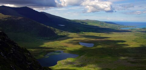
Walkers beware: the Wicklow Way is a 129km hiking trail that will give you a sublime view of the Wicklow mountains! It offers a mosaic of landscapes of all kinds, from mountains and valleys to moors, forests and lakes… Created in 1980, this trail is used by thousands of walkers who come to admire the beauty of Wicklow.

The Wicklow Way – © Christopher
The Wicklow Way is one of Ireland’s longest signposted walking routes. It offers you the chance to enjoy authentic experiences, and to discover places that are less well known to tourists, but nonetheless magnificent. Among them, you’ll discover mountains, lakes, steep-sided glacial valleys, streams, forests and, of course, relics, with ruined castles and exceptional 5th-century monastic sites, including the famous Glendalough valley.
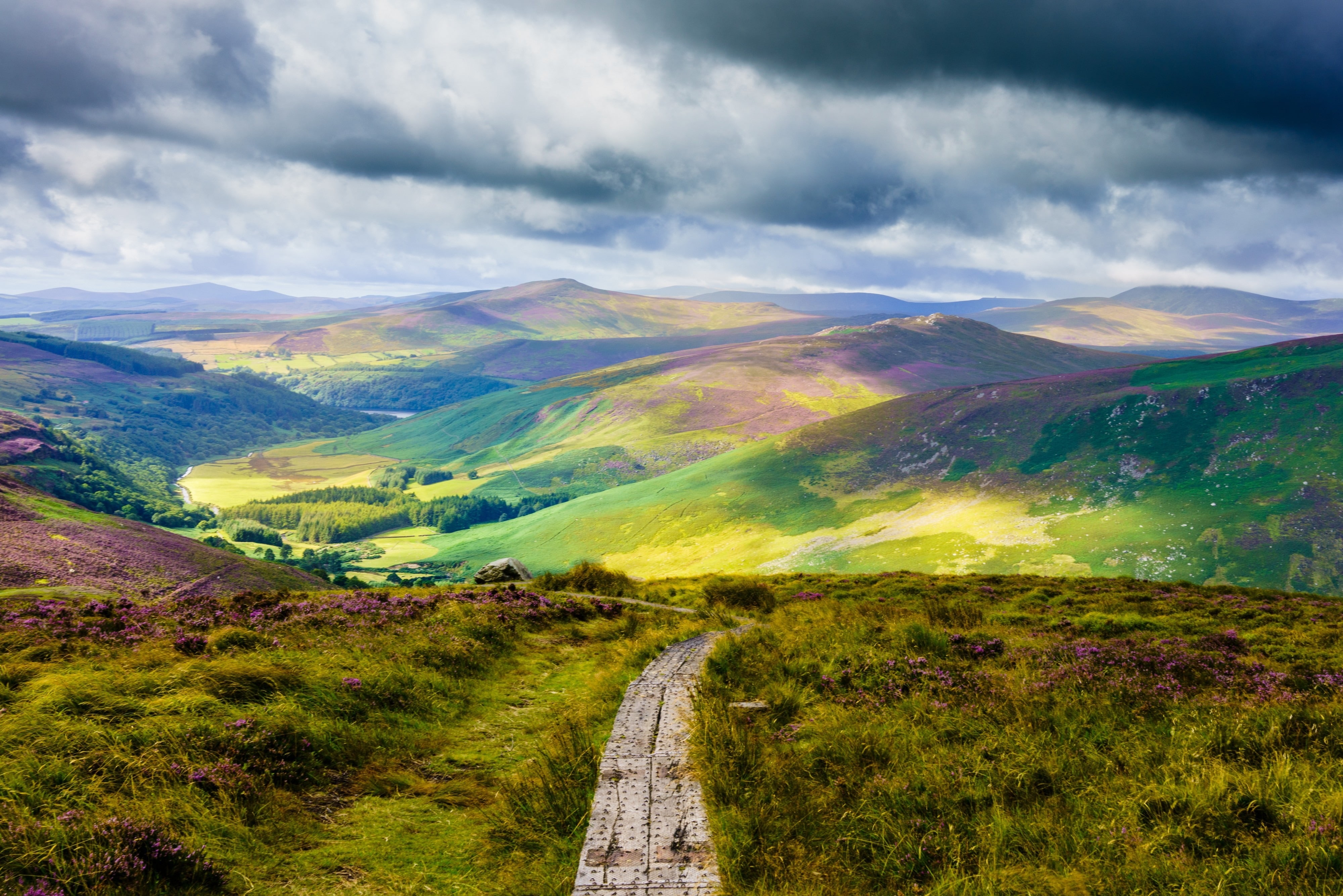
The Wicklow Way starts in Dublin’s southern suburbs, at Rathfarnham, and heads southwest through the Dublin and Wicklow heights. You’ll then pass through the rolling hills of County Wicklow to the south-west, ending your journey in the small village of Clonegal, County Carlow, after 129 kilometers of walking.
Allow 8-10 days to complete the tour. It is aimed above all at hikers with an average level of walking ability: a circuit of this distance requires preparation as well as good physical endurance over time. What’s more, you’ll sometimes be riding on trails that reach altitudes of over 400 metres, so it’s a good idea to be sure before you set off.
Above all, prepare well in advance for this adventure: set off with equipment suitable for walking and all weather conditions.
The Wicklow Way offers hikers a wide choice of places to stay within easy reach of the trail. There’s a wide range of options for different budgets: hotels, bed and breakfasts and youth hostels dot the entire Wicklow Way.
Don’t hesitate to contact them to book in advance: some of these establishments are very popular during the high season.
Note that some establishments offer to pick you up on the trail itself and transfer your luggage to your next resting place.
 Address:
 GPS :
GPS :
 Rates :
  Opening hours :


 3.69/5 (1,165 votes)