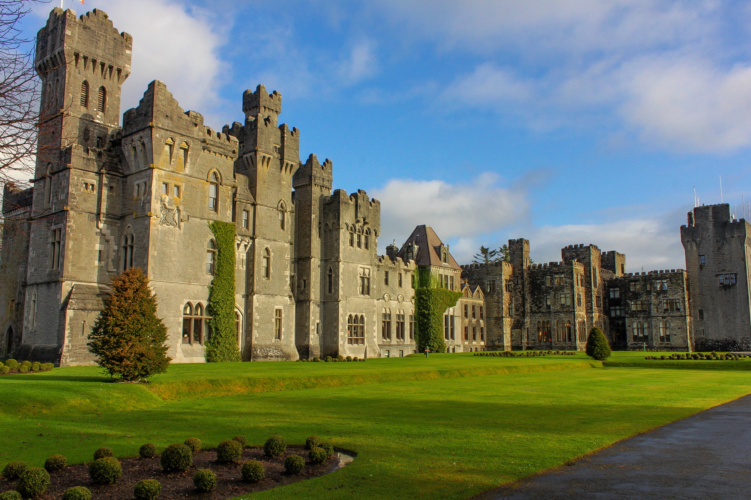
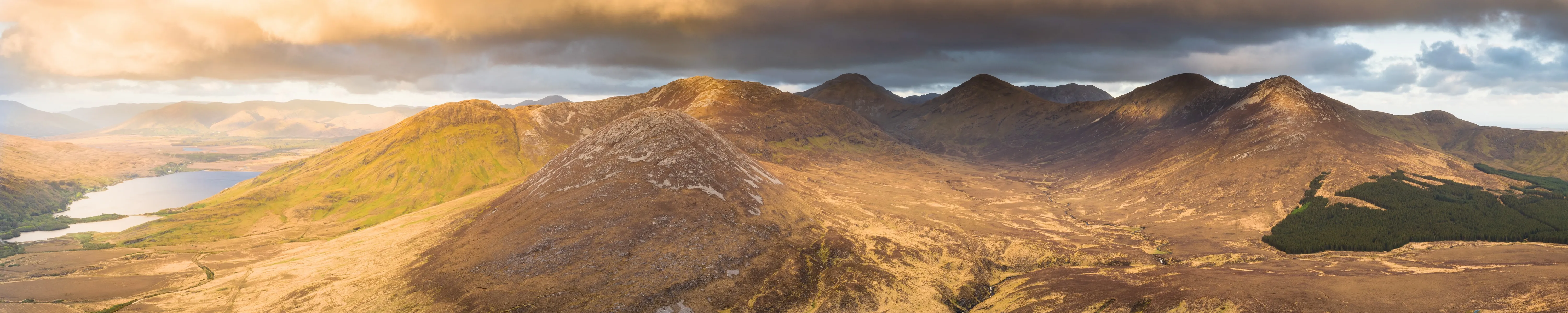
County Mayo is one of the great wilderness areas of western Ireland. Less visited than neighbouring Kerry or Connemara, it reveals a deeply indented coastline, mountains covered in bogland and islands exposed to Atlantic winds. Here, roads cross vast landscapes where houses become increasingly scarce and the light can change several times in a single hour.
With an area of approximately 5,588 km², Mayo is Ireland’s third-largest county. Its territory contains some of the most spectacular landscapes along the Wild Atlantic Way: Achill Island, Croagh Patrick, Clew Bay, the cliffs of Downpatrick Head and Wild Nephin National Park.
Visiting County Mayo
A wild destination on the Atlantic coast
Located in the province of Connacht, County Mayo takes its Irish name, Maigh Eo, generally translated as “the plain of the yew trees”. It stretches from the border with County Galway in the south to the isolated lands of the Mullet Peninsula and Killala Bay in the north.
Mayo had a population of 137,970 at the 2022 census, according to the Irish Central Statistics Office. Its population is spread across several medium-sized towns, numerous villages and extensive rural areas.
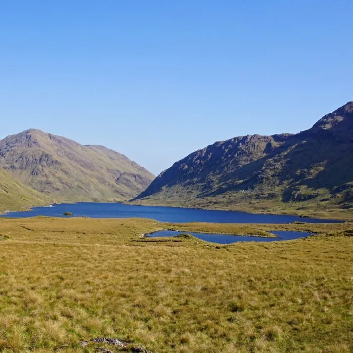
This low population density contributes to the county’s unspoilt character. Just a few kilometres from the main towns, the landscape quickly regains its silence: boglands, stone walls, dark lakes and hills create a setting typical of western Ireland.
Westport and Clew Bay
A colourful town at the foot of Croagh Patrick
Westport is one of the best bases for exploring southern Mayo. This elegant little town developed around the Carrowbeg River. Its streets lined with colourful houses are home to pubs, restaurants, independent shops and accommodation.
The town lies on the shores of Clew Bay, a vast bay dotted with a multitude of small islands. Some are actually glacial formations known as drumlins, shaped by the movement of ice before being partially submerged by the ocean.
From the surrounding heights, the view over the bay is striking. The islets are scattered across the water while Achill Island closes the horizon to the west. Westport’s quays, slightly away from the town centre, also offer the chance to enjoy this maritime atmosphere.
Croagh Patrick
Ireland’s sacred mountain
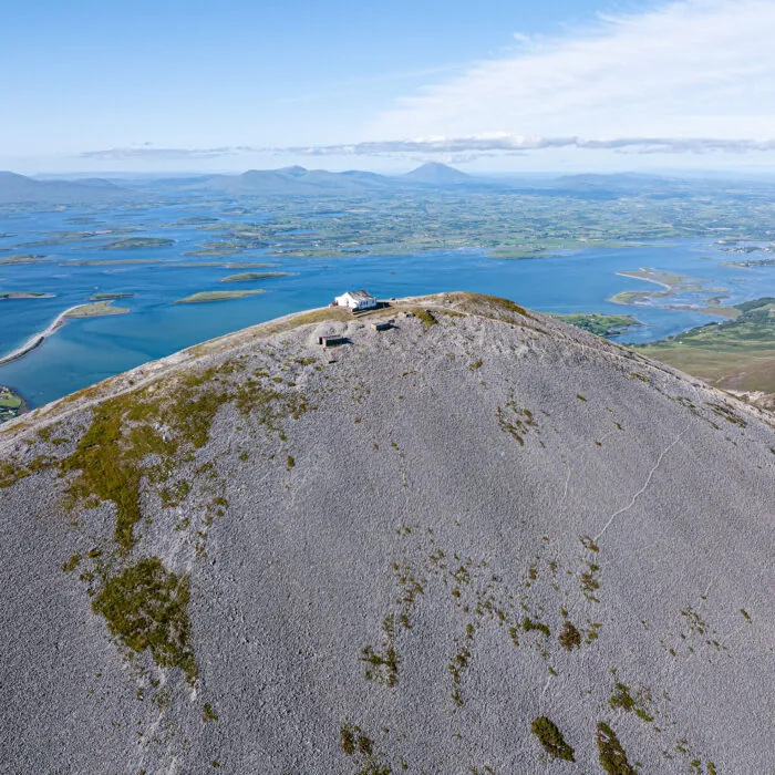
Rising 764 metres above Clew Bay, Croagh Patrick is one of Ireland’s most symbolic peaks. According to Christian tradition, Saint Patrick fasted there for forty days in 441 before Easter.
The mountain attracts walkers throughout the year, but it becomes an important pilgrimage site on the last Sunday of July, during Reek Sunday. Thousands of people then climb its slopes to reach the small chapel built at the summit.
The ascent generally begins in the village of Murrisk. The path becomes particularly steep and unstable in its upper section, which consists of stones and scree. The weather can also change quickly. Good physical fitness, suitable footwear and waterproof clothing are therefore essential.
When the skies clear, the summit offers spectacular views over Clew Bay, the Connemara mountains and the landscapes of western Mayo.
Achill Island
Cliffs, beaches and villages facing the ocean
Connected to the mainland by a bridge, Achill Island is the largest island off the coast of Ireland. It concentrates much of what makes Mayo so fascinating: lonely roads, rugged mountains, pale sandy beaches and cliffs plunging into the Atlantic.
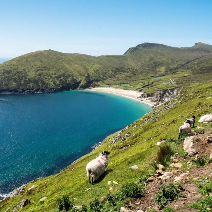
Keem Bay is its most famous landscape. This small crescent-shaped beach lies at the end of a steep-sided valley, between Croaghaun Mountain and Moyteoge Head. The turquoise colour of the water contrasts with the dark slopes surrounding it.
Keel Beach offers a more open setting. Its long stretch of sand faces the ocean waves and attracts surfers, windsurfers and kitesurfers. Further east, the Deserted Village of Slievemore contains the ruins of dozens of abandoned stone houses.
The Atlantic Drive scenic route follows the coast around part of the island. Its viewpoints offer views of the cliffs, islets and ever-changing Atlantic light.
Wild Nephin National Park
One of Ireland’s most isolated areas
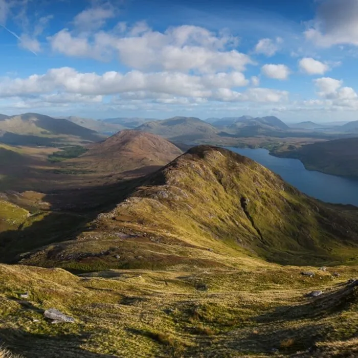
Wild Nephin National Park protects a vast area of mountains, boglands and forests north-west of Clew Bay. This sparsely populated environment forms one of the country’s largest expanses of wilderness.
The park includes the Nephin Beg mountains and part of the Owenduff bog. Trails of various lengths allow visitors to discover its landscapes, particularly around Ballycroy and Letterkeen.
Wild Nephin is also recognised for the quality of its night skies. The absence of large urban areas and significant sources of artificial light makes it possible to observe the stars in good conditions when the cloud cover clears.
The nature of the terrain should not, however, be underestimated. The boglands can be waterlogged and there are few landmarks on the most isolated routes. Long hikes require careful preparation and good navigational skills.
The Céide Fields and northern Mayo
A prehistoric landscape buried beneath the bog
On Mayo’s northern coast, the Céide Fields reveal one of Ireland’s most important archaeological sites. Beneath several metres of peat lies a vast network of fields, stone walls and dwellings dating back to the Neolithic period.
These remains bear witness to the presence of farming communities nearly 6,000 years ago. The peat gradually covered and preserved their land, conserving a landscape shaped by human beings long before the construction of the Egyptian pyramids.
An interpretive centre presents the archaeological discoveries and the methods used to locate the walls beneath the bog. The site also overlooks high cliffs opening onto the Atlantic.
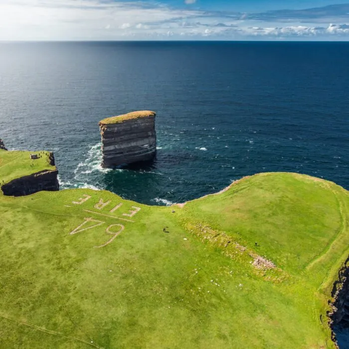
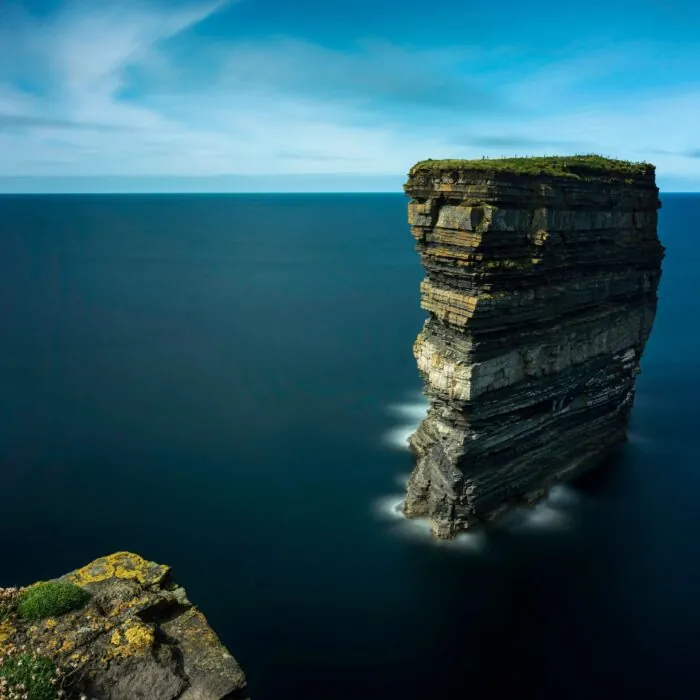
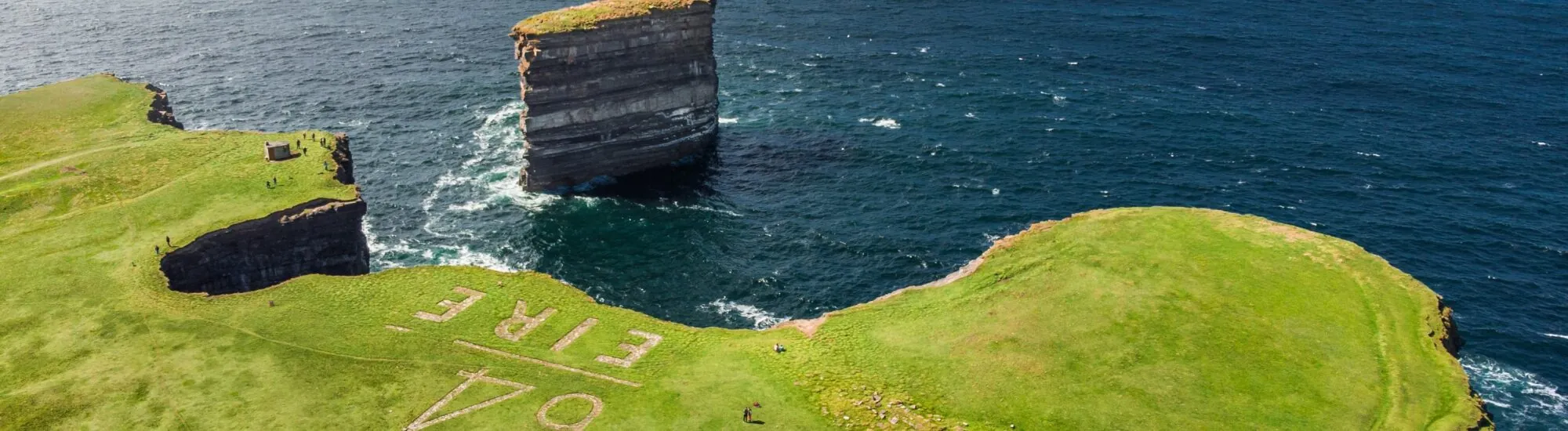
A few kilometres away, Downpatrick Head offers another striking landscape. The headland faces Dún Briste, an imposing rock pillar separated from the coast. The layers of rock visible on its sides tell a story of millions of years of geological history.
The Mullet Peninsula and the Erris region
A secluded coast at the gateway to the Atlantic
The Erris region occupies the north-western tip of Mayo. Long isolated from the rest of the county, it retains extensive boglands, quiet beaches and a strong maritime culture.
The Mullet Peninsula forms a long strip of land between Blacksod Bay and the ocean. Belmullet is its main settlement. From the town, small roads lead to beaches, lighthouses and several archaeological sites.
At the southern end of the peninsula, Blacksod Lighthouse was associated with a decisive episode of the Second World War. In June 1944, weather observations transmitted from the station contributed to the postponement of the Normandy landings to 6 June.
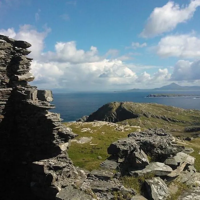
Offshore lie the Inishkea Islands, once inhabited by fishing communities. Today, they are known for their seabird colonies, beaches and the ruins of their former villages.
Towns and villages in Mayo
Lively stops between heritage and tradition
Castlebar is the county’s administrative centre. The town is a convenient stopping point for reaching Westport, Foxford, Ballina or central Mayo. It is also home to the National Museum of Ireland – Country Life, dedicated to daily life in the Irish countryside between the middle of the nineteenth and the middle of the twentieth century.
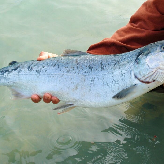
To the north-east, Ballina stretches along the banks of the Moy. The river is particularly known for salmon fishing, which holds an important place in the town’s history and identity.
Cong lies in the south of the county, between Lough Corrib and Lough Mask. The village is surrounded by forests, waterways and historic remains, including the ruins of Cong Abbey. It is also known for having served as the setting for John Ford’s film The Quiet Man.
Foxford, meanwhile, retains an old textile tradition. Its woollen mills contributed to the town’s development and continue to produce blankets, fabrics and accessories inspired by local craftsmanship.
Mayo’s religious heritage
Pilgrimage routes centuries old
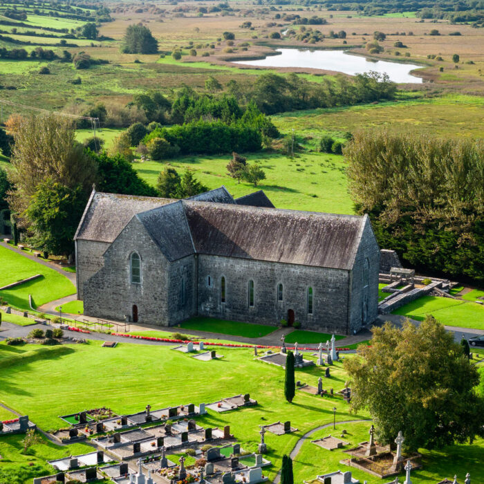
Mayo’s religious heritage is not limited to Croagh Patrick. Founded in 1216, Ballintubber Abbey is one of the few Irish medieval abbeys where worship continued almost without interruption despite destruction and periods of persecution.
The abbey lies on the Tóchar Phádraig, an ancient pilgrimage route linking Ballintubber with Croagh Patrick. This route crosses rural roads, boglands and several sites associated with the earliest Christian communities.
An important sanctuary in Knock also attracts pilgrims and visitors. It commemorates a religious apparition said to have been witnessed by fifteen people in 1879. The site now includes several churches, a museum and a large basilica.
Outdoor activities in Mayo
Hiking, cycling and water sports
The Great Western Greenway allows visitors to explore part of the county on foot or by bicycle. Built along the route of a former railway line, it connects Westport with Achill Island via Newport and Mulranny. The route offers fine views over Clew Bay and the Nephin Beg mountains.
Mayo’s lakes and rivers also attract fishing enthusiasts. The Moy is renowned for salmon, while Lough Conn, Lough Mask and several of the county’s waterways are popular for trout fishing.
Along the coast, surfing, kayaking and paddleboarding are practised particularly around Achill Island and Clew Bay. Some sea excursions also offer the chance to observe birds, seals and, with a little luck, whales and dolphins offshore.


 +
+
 Tourist attractions
 Irish Restaurants and Pubs
 Partner Accommodations
 Campgrounds and Lodging