Classiebawn Castle
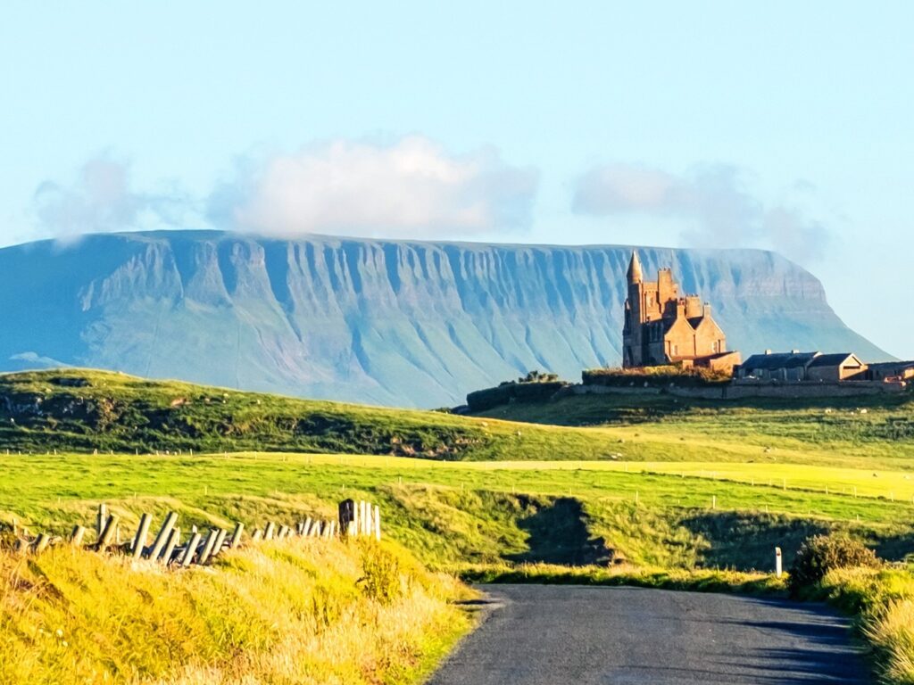
Perched on high ground on the Mullaghmore peninsula, Classiebawn Castle forms one of County Sligo’s most striking sights. Its silhouette stands out…


 Tourist attractions
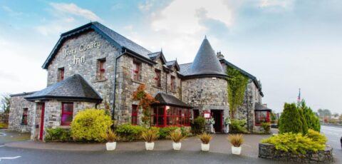
 Irish Restaurants and Pubs
 Partner Accommodations
 Campgrounds and Lodging
Perched on high ground on the Mullaghmore peninsula, Classiebawn Castle forms one of County Sligo’s most striking sights. Its silhouette stands out…
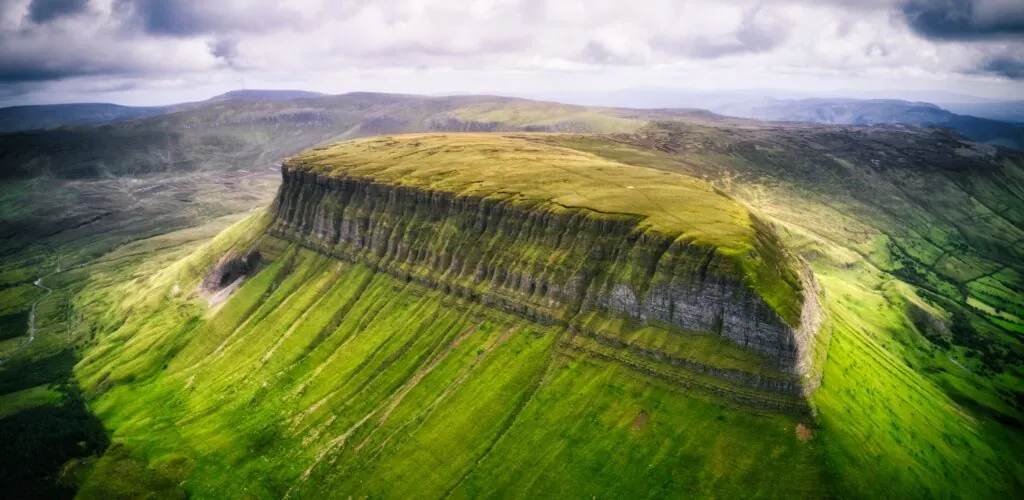
Rising majestically from its height of 526 metres, Ben Bulben is a gigantic geological formation covered with rock and stretches of bright…
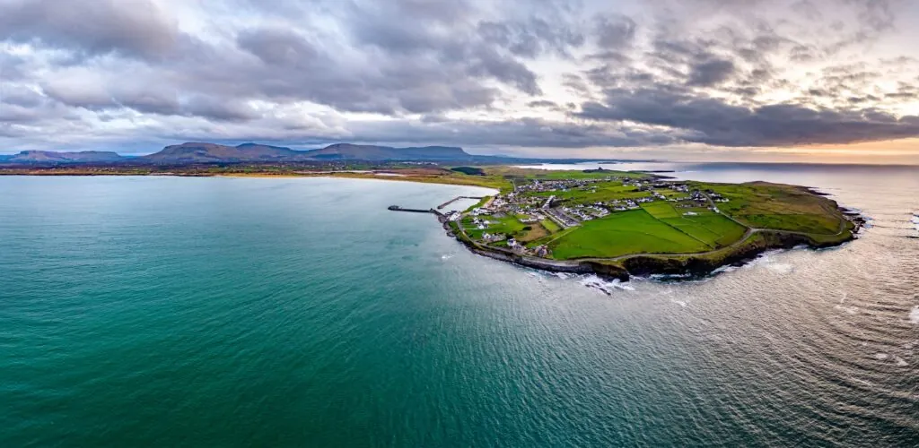
Mullaghmore Head is a micro-peninsula in County Sligo. Facing the Atlantic Ocean, the area abounds in postcard-worthy scenery. Green hills criss-crossed by…
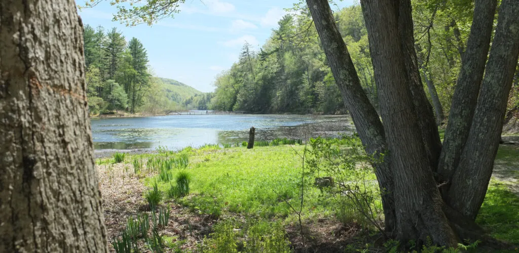
Innisfree is a small, uninhabited Irish island on Lough Gill. Rather wild and pretty, it was one of the high points of…
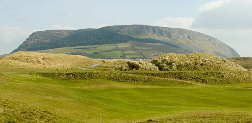
Knocknarea Mountain(Cnoc na Rí in Irish Gaelic) is a mountain located on the Coolrea Peninsula. Reaching up to 327 meters in altitude,…
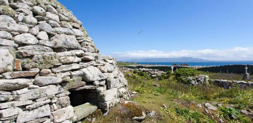
St Molaise Abbey is an ancient Irish abbey on the island of Inishmurray. With its wealth of architectural remains, it's well worth…
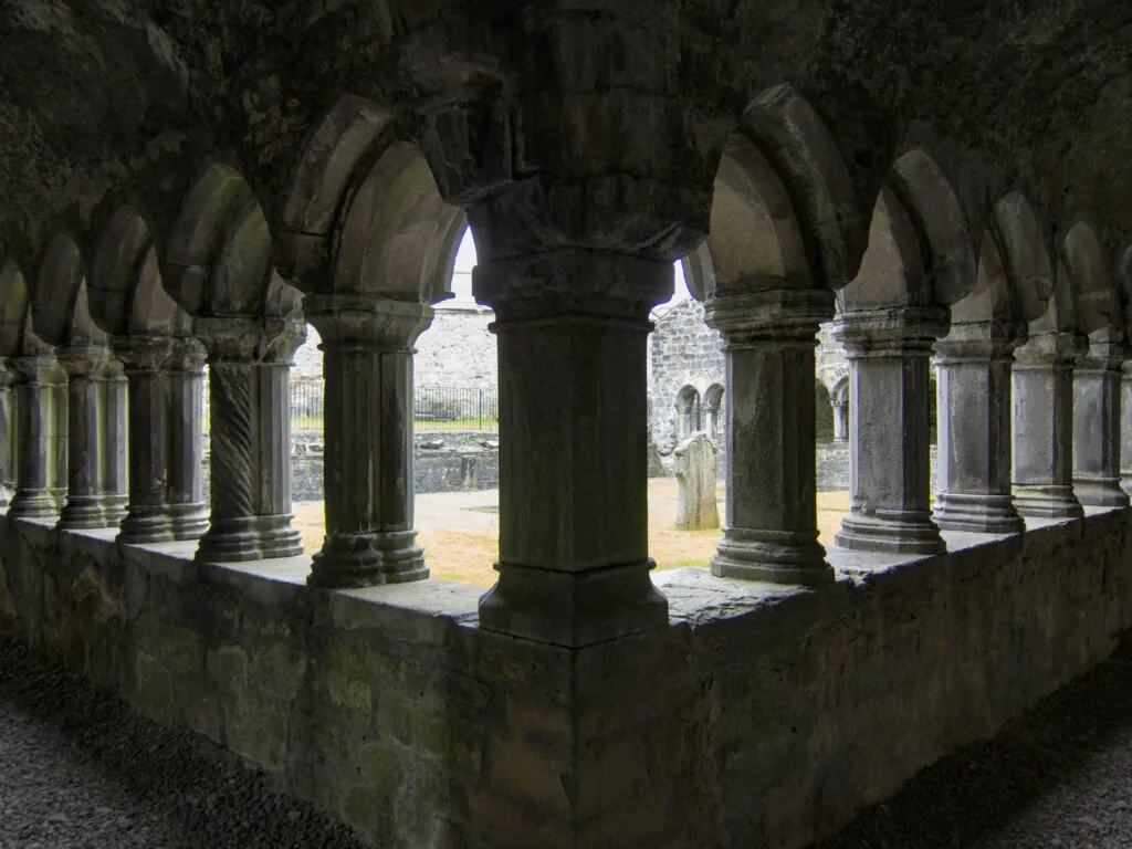
The town of Sligo is home to a 13th-century Dominican abbey, known as Sligo Abbey. This building is a true architectural marvel!…
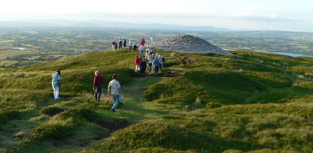
Carrowkeel Cairns is a group of Neolithic tombs in southern County Sligo. It is one of the four largest prehistoric cemeteries in…
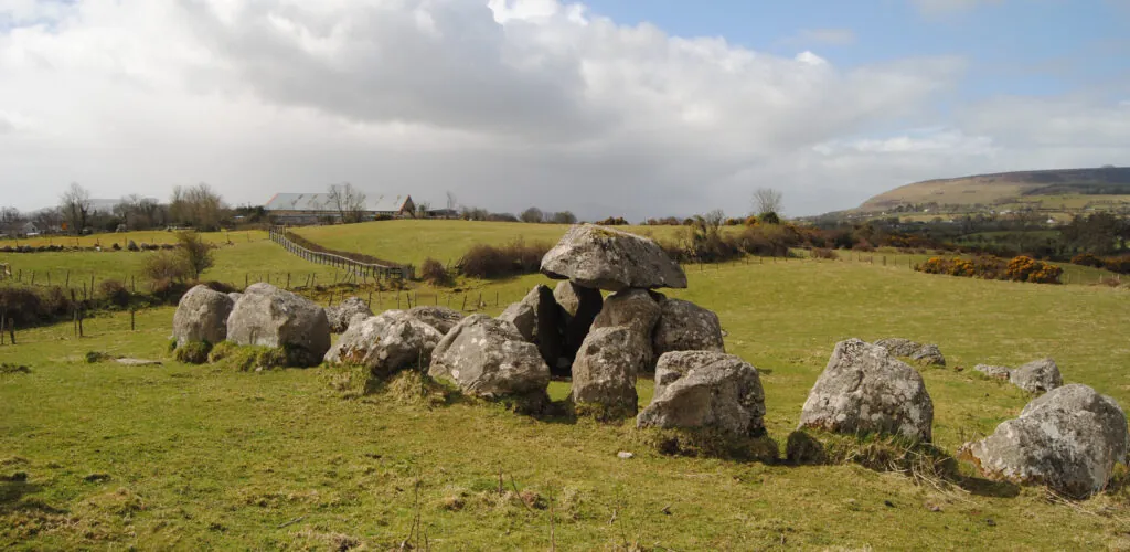
Carrowmore Dolmen in County Sligo is one of Ireland's major megalithic sites, along with Poulnabrone Dolmen (Co. de Clare), and Brownshill Dolmen…
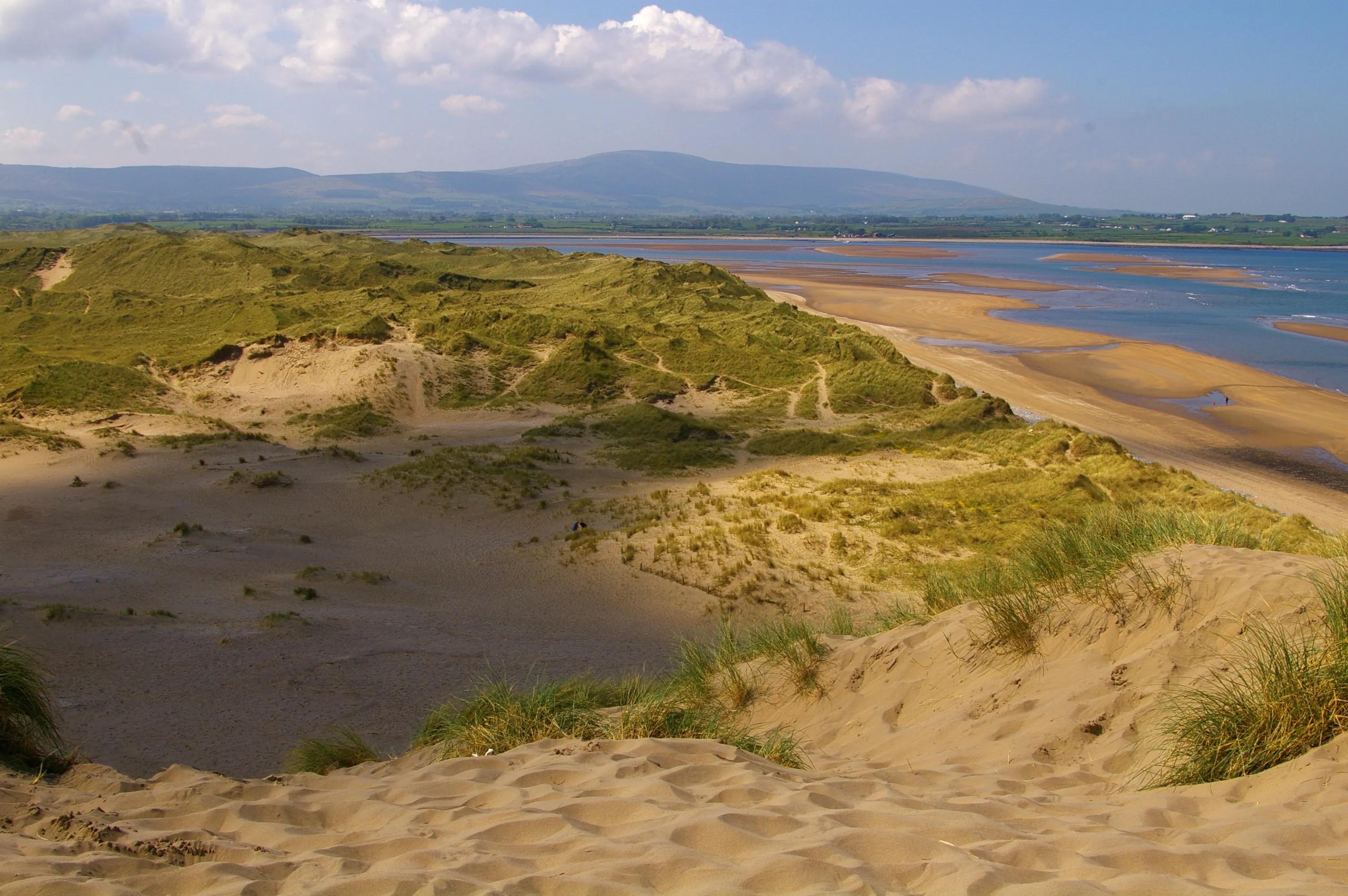
Strandhill Beach is an Irish beach in County Sligo, located in the village of Strandhill. Very wild, it offers sumptuous landscapes, and…
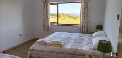
Find a comfortable place to stay and make the most of your trip to Ireland.
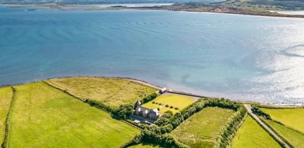
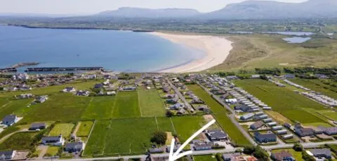
Exceptional properties on sale in Ireland this summer! Starting with the former Dromard coastguard station in County Sligo. A magnificent 5-bedroom property…
County Sligo occupies a relatively compact area in the north-west of Ireland, yet brings together remarkable diversity: limestone mountains, an Atlantic bay, beaches, lakes and one of the country’s most important megalithic landscapes. The work of William Butler Yeats has also given these places a literary dimension that has become inseparable from their identity.
Sligo covers around 1,837 km² and had a population of 70,198 in the 2022 census. Its size is a real advantage for travellers: from Sligo town, Strandhill, Rosses Point, Knocknarea, Benbulben and Lough Gill can all be reached quickly.
This proximity does not mean that visits should be crammed into a single day. The county is best understood by distinguishing several areas: Sligo town and its bay, the Coolera Peninsula and its prehistoric monuments, the north around Benbulben and Mullaghmore, Lough Gill to the east, and the more rural landscapes of the south.
Sligo town is arranged around the Garavogue, between Lough Gill and the Atlantic. It brings together shops, accommodation, restaurants and an important part of the county’s cultural life.
Sligo Abbey, the Model, Yeats-related sites and the various urban attractions have dedicated content on Guide-Ireland. At taxonomy level, the town should above all be presented as the main hub from which to explore in every direction.
West of Sligo town, Knocknarea dominates the Coolera Peninsula and the bay. The large summit cairn traditionally associated with Queen Medb forms part of a much broader archaeological landscape.
Carrowmore, at the foot of the mountain, contains numerous megalithic tombs. Together with Carrowkeel and other monuments in the county, these sites form a group now included on Ireland’s UNESCO World Heritage Tentative List under the name Passage Tomb Landscape of County Sligo.
The dates, routes and specific monuments should remain detailed in the specialist pages. Here, the aim is to show that Sligo possesses a genuine prehistoric ritual landscape, rather than a simple collection of isolated dolmens.
Benbulben dominates the north of the county and is its best-known visual landmark. Around it, the Dartry Mountains, Drumcliffe and Gleniff form a combination of valleys and limestone hills extending towards Donegal Bay.
Further north, Mullaghmore combines a harbour, peninsula, beaches and views of Classiebawn Castle. The giant waves that form offshore have given the area an international reputation for elite-level surfing, but this activity should not be confused with the county’s more accessible surf spots.
Benbulben, Gleniff Horseshoe, Mullaghmore and Classiebawn already have their own content: this page places them within the geography of northern Sligo.
Strandhill, at the foot of Knocknarea, is strongly associated with surfing and a long beach exposed to the Atlantic. Rosses Point, north of the bay, offers a more sheltered setting and a strong maritime tradition.
These two places make it easy to include the coastline in a stay based in Sligo town. Enniscrone, further west near the Moy estuary, extends this seaside character with a long beach and a tradition of seaweed baths.
Lough Gill extends east of Sligo town and into Leitrim. Its forests, islands and calm waters offer a marked contrast to the Atlantic beaches and cliffs.
The island of Innisfree became world-famous through W. B. Yeats’s poem. However, the connection between the writer and Sligo extends beyond this single place: Benbulben, Drumcliffe, Knocknarea and many of the county’s landscapes run through his work.
Content devoted to Yeats and Innisfree should retain its detailed biographical and literary approach. The county page can, however, show how this literature is rooted in a real geography.
The south of the county is less visited than the bay or Benbulben. The Bricklieve Mountains contain Carrowkeel, while the Caves of Keash open in the limestone hills of Keshcorran. This area forms a transition towards Roscommon and the heart of Connacht.
It usefully complements a stay for travellers interested in archaeology and rural landscapes, while avoiding concentrating all visits on the coast.
Thanks to the county’s size, two or three days already allow for a coherent discovery. One day can combine Sligo town, Knocknarea and Strandhill; another, the north around Benbulben, Drumcliffe and Mullaghmore; and a third, Lough Gill or the prehistoric landscapes of the south.
A car remains the most practical option for freely connecting these areas, even though Sligo town is well served by public transport. For walks, the weather and ground conditions should always be checked.
This organisation reinforces the role of the taxonomy: explaining Sligo as a territory and allowing dedicated pages to explore Benbulben, Carrowmore, Knocknarea, Yeats, Strandhill, Lough Gill and Mullaghmore in greater depth without editorial overlap.