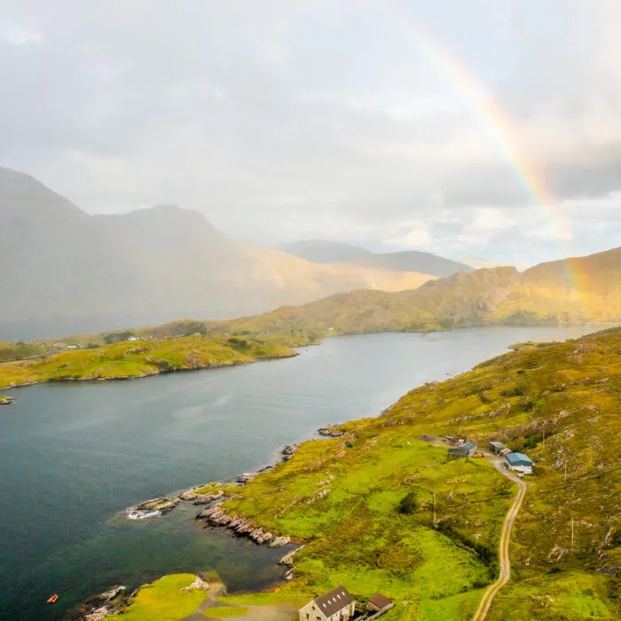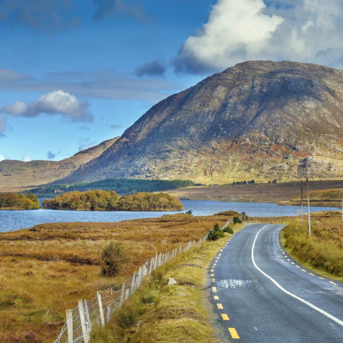


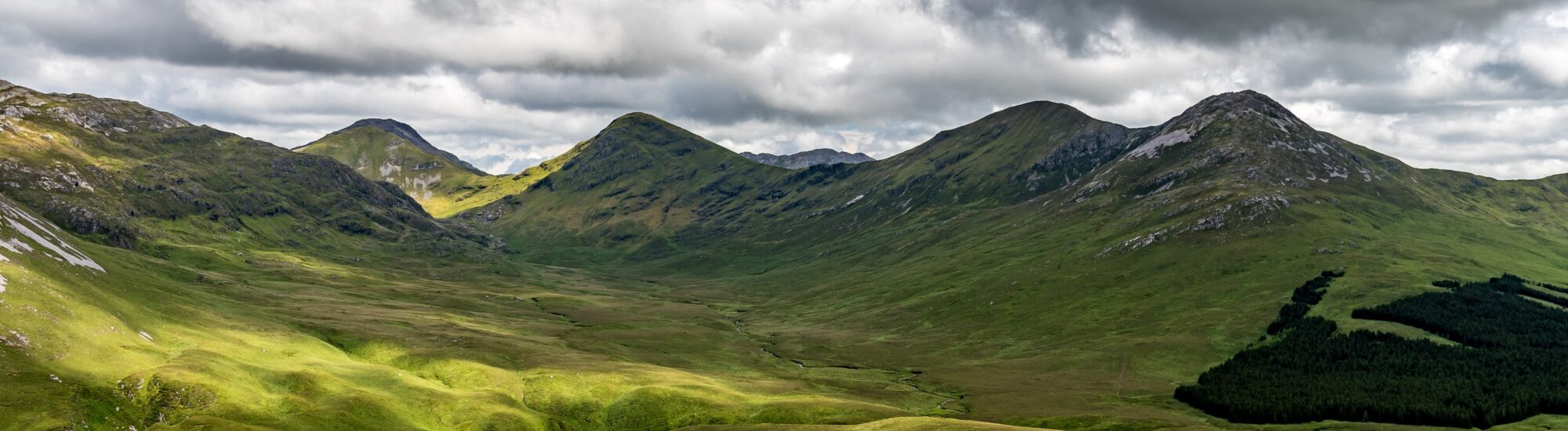
The **Twelve Bens**, also known as the **Twelve Pins** and in Irish as **Na Beanna Beola**, form one of the most iconic mountain ranges in **Connemara**, County Galway. There are no towering Alpine peaks here, nor dramatic roads carved into the mountainside: the landscape is rawer, more mineral. Quartzite ridges rise from the bogs, while glacial valleys, lakes and moorland create a landscape typical of western Ireland.
The range’s highest point is **Binn Bhán, or Benbaun**, which reaches an elevation of 729 metres. A relatively modest height by European standards, but a deceptive one: in Connemara, the mountains rise above a largely unbuilt landscape subject to particularly changeable weather. As a result, the terrain feels far more imposing than it appears on paper.
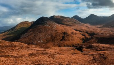
The Twelve Bens, at the heart of Connemara’s wild landscapes
The Twelve Bens rise in western **County Galway**, at the heart of Connemara. The range overlooks, in particular, the landscapes stretching between the Clifden area, the Inagh Valley and the surroundings of Letterfrack. From **Diamond Hill**, one of the area’s most accessible summits, the Twelve Bens appear as a spectacular succession of rocky ridges cutting across the horizon.
Their silhouette is inseparable from Connemara. The range accompanies travellers along the roads, emerging beyond the bogs or reflected in the dark waters of the loughs. To the east, the Inagh Valley separates the Twelve Bens from the **Maumturk Mountains**, creating one of western Ireland’s great mountain landscapes. The Western Way also crosses this valley between the two ranges.
The Irish name **Na Beanna Beola** can be translated as “the peaks of Beola”. The term is older and more interesting than it might seem: unlike the English name “Twelve Bens”, it makes no reference to the number twelve. Sources on Irish mountain place names even note that there is no absolute consensus on which twelve peaks made up the original list. However, a reference to “twelve high mountaines of Bennabeola” appears as early as 1684 in the writings of Roderic O’Flaherty.
The list traditionally associated with the Twelve Bens includes:
However, it would be reductive to imagine the range as a clearly identifiable sequence of twelve mountains. The Twelve Bens are in fact a larger mountain group, with numerous subsidiary peaks, ridges and landforms. This is precisely why their count sometimes varies.
At the centre of the range stands **Benbaun**, or **Binn Bhán**, literally the “white peak”. At 729 metres, it is not only the highest summit in the Twelve Bens but also the **highest point in County Galway**. Its name is said to refer to the abundance of pale rock, especially quartz, characteristic of these mountains.
Climbing Benbaun gives a full sense of the Connemara landscape. When the clouds clear, the view extends over a land of alternating mountains, valleys, bogs and stretches of water. Yet this summit is not a developed tourist attraction: this is a genuine mountain environment.
The Twelve Bens are among Connemara’s foremost hiking areas. However, the previous text may have suggested that it was easy to take a “simple walk” there. This is not the case for most high-level routes.
Much of the range consists of **undeveloped mountain terrain**, with sometimes steep slopes, wet or boggy ground, and stretches where navigation can become difficult. In this Atlantic-exposed region, mist, rain and wind can also change walking conditions very quickly.
One of the best-known routes is the **Glencoaghan Horseshoe**, a long horseshoe traverse linking several of the range’s summits. It is a demanding hike reserved for walkers with a good level of fitness and the ability to navigate in the mountains.
There are several alternatives for discovering the landscapes of the Twelve Bens without undertaking such a technical traverse. The **Western Way** passes through the spectacular Inagh Valley, between the Twelve Bens and the Maumturks. The route alternates between minor roads, moorland, bogs, tracks and paths; Sport Ireland notes that some sections can become particularly wet after heavy rain.
Fortunately, there is no need to climb Benbaun to appreciate the range.
**Diamond Hill** is an outstanding viewpoint over the Twelve Bens. Its main route is around 6.2 km long, with 400 metres of ascent, and takes approximately two hours according to Sport Ireland. From the higher ground, the panorama takes in the Twelve Bens, the Connemara coast, Kylemore Abbey and several Atlantic islands.
The **Inagh Valley** offers a very different experience. Here, the mountains can be viewed from the valley floor, with the Twelve Bens on one side and the Maumturks on the other. When the summits vanish behind the clouds and the waters of Lough Inagh turn almost black, the landscape takes on the austere, dramatic quality that has contributed so much to the myth of Connemara.
What makes the Twelve Bens remarkable is ultimately not their altitude, but their presence in the landscape. The range rises from a mosaic of bogs, valleys and lakes, in a region where signs of development remain discreet.
Light adds greatly to the spectacle. It changes constantly under the influence of the Atlantic: a sunlit ridge may disappear into a mass of cloud only minutes later. After rain, the pale quartzite stands out against the dark moorland and waterlogged slopes.
This weather is also what makes it essential to take the mountains seriously. For high-level hiking, suitable footwear, waterproof clothing, water, food, a map and a means of navigation are indispensable. It is also important to check weather conditions before setting off and to choose a route genuinely suited to your experience.
The Twelve Bens are not simply twelve peaks to tick off on a map. They form one of Connemara’s great natural structures: a landscape of stone, peat and water that, just a few kilometres from villages and tourist roads, shows how deeply wild western Ireland remains.
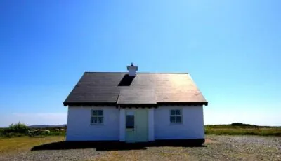
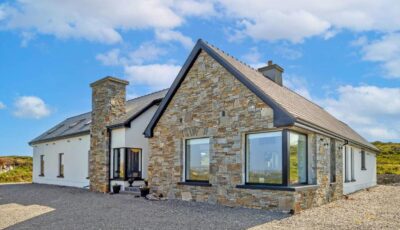
Want to extend your visit without having to rush around? Here are a few well-located places to stay near the must-see attractions.
Essential information to help you plan your visit, including key landmarks, access information, and booking options.
53.500124, -9.810044
1/2 journée
1 journée
daily
Check the opening hours and admission requirements before you leave, especially during peak season or on Irish public holidays.
free