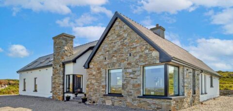
Connemara Smokehouse
Overlooking the Atlantic, on Bunowen Pier near Ballyconneely, Connemara Smokehouse keeps a rare craft alive. Since 1979, the Roberts family has been…


 Tourist attractions
 Irish Restaurants and Pubs
 Partner Accommodations
 Campgrounds and Lodging
Overlooking the Atlantic, on Bunowen Pier near Ballyconneely, Connemara Smokehouse keeps a rare craft alive. Since 1979, the Roberts family has been…
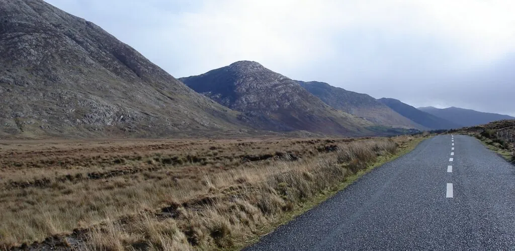
In the heart of Connemara, the Inagh Valley unfolds across an almost mineral landscape. The road winds between the dark outlines of…
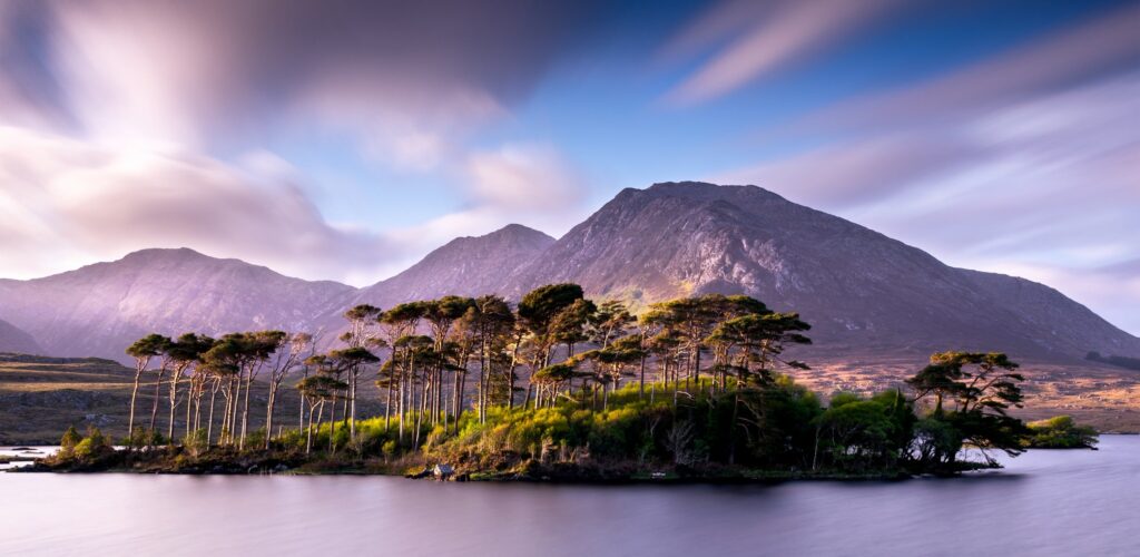
Head to Connemara to admire Derryclare Lough, an Irish lake like no other, lost in the middle of mountains and moors. A…
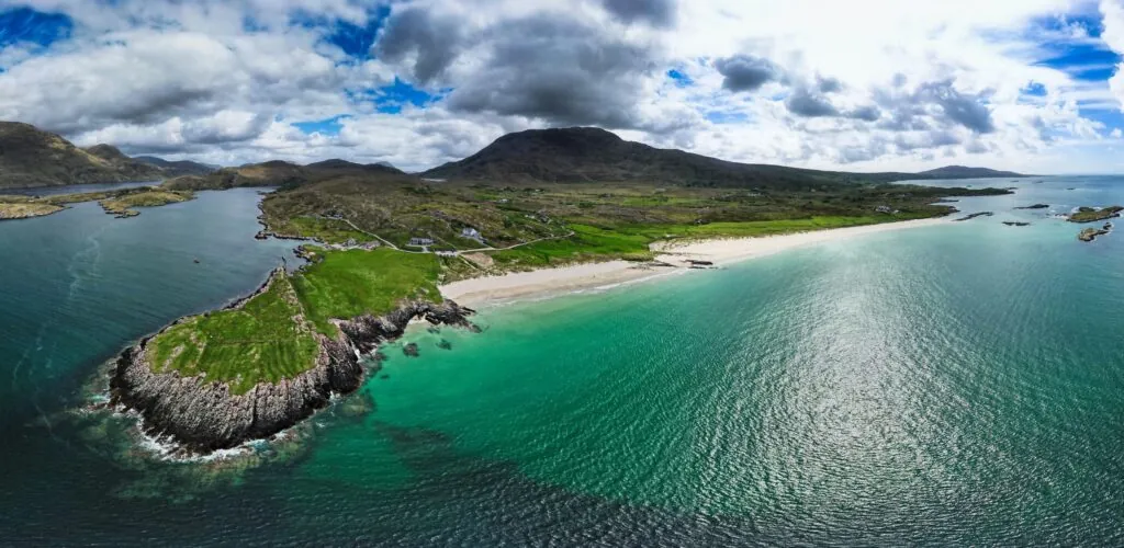
Glassilaun Beach is a superb beach in Ireland’s Connemara National Park. The sublime location offers a pretty cove of white sand, with…
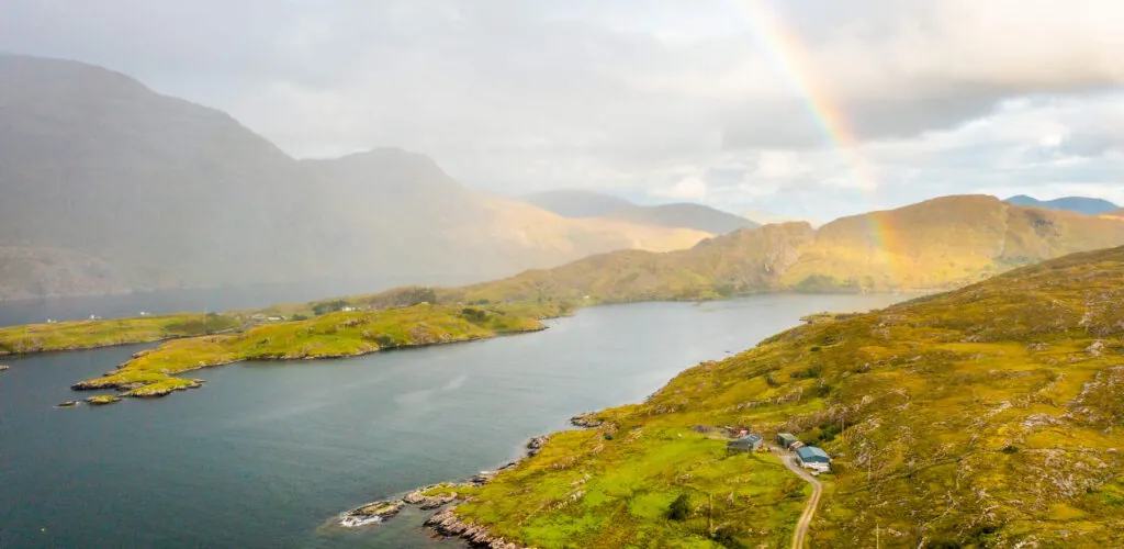
Nestled between the jagged arms of Connemara’s Atlantic coastline, Little Killary Bay is an unassuming, unspoilt bay, yet one of striking beauty.…
The **Twelve Bens**, also known as the **Twelve Pins** and in Irish as **Na Beanna Beola**, form one of the most iconic…
Brigit's Garden is a fabulous 11-hectare garden in the heart of Connemara! It's a great place to go for a walk, but…
If you love mountains, then we recommend you discover the Maumturks Mountains, a mountain range in Ireland whose highest point is 667…
In the heart of Connemara, Lough Inagh stretches its dark waters between bogland, pasture and the mountains of western Ireland. This wild…
Find a comfortable place to stay and make the most of your trip to Ireland.
Amid quartzite mountains, windswept heathland and vast bogs, Connemara National Park protects some of the most iconic landscapes in the west of Ireland. Located near Letterfrack in County Galway, it is one of the best starting points for exploring Connemara’s wilderness on foot.
The park should not, however, be confused with the much larger Connemara region. It now covers around 2,300 hectares, following a major extension announced in 2025. Its landscapes include part of the Twelve Bens, Atlantic blanket bogs, heathland, grassland and several wooded areas.

A Connemara landscape – Francesca Guadagnini – CC BY-NC-SA 2.0
Established in 1980, Connemara National Park protects a range of landscapes shaped by geology, glaciers and centuries of human activity. Some of its land once belonged to the Kylemore Abbey estate and Letterfrack Industrial School. Other plots were owned by Richard Martin, nicknamed Humanity Dick, one of the pioneers of animal welfare in the 19th century.
The park includes several peaks in the Twelve Bens range, known as Na Beanna Beola in Irish. These include Benbaun, the highest point in County Galway at 725 metres, as well as Bencullagh, Benbrack and Muckanaght.
The most popular walk, however, is Diamond Hill. Its 445-metre summit is more accessible than the higher mountains nearby and offers outstanding views of the mountains, Atlantic coast and Kylemore Abbey.
It would be inaccurate to describe the park as a landscape entirely untouched by people. Its scenery bears the long-standing marks of grazing, farming and human settlement. Archaeological remains, including megalithic tombs, walls that predate the formation of some bogs and former settlements, bear witness to this long history.
The main habitats are Atlantic blanket bogs and heathland. These bogs developed in a wet environment with high levels of rainfall. Today, they play an essential role in supporting biodiversity, regulating water and storing carbon.
Purple moor-grass colours much of the landscape in shades of gold, green and russet as the seasons change. Heather, bog cotton, mosses and several carnivorous plants, including sundews and butterworts, also grow in these nutrient-poor soils.
The park is home to red deer, foxes, badgers, Irish hares, stoats, pine martens and several species of bat. These animals are elusive, and sightings are never guaranteed, particularly along the busiest trails.
Kestrels and sparrowhawks can be seen overhead, with peregrine falcons and merlins appearing less frequently. Skylarks, meadow pipits and stonechats also inhabit the heathland.
The Connemara pony has a special place here. Although it is a domestic animal, it is inseparable from the region’s cultural and agricultural identity. Ponies are bred in the park as part of a heritage breeds programme.
The site has also had a Connemara Pony Heritage Centre since November 2025. It explores the breed’s history, characteristics and role in rural life in Connemara. It makes a worthwhile addition to a walk, particularly for families.
The main visitor entrance is just outside the village of Letterfrack. The Visitor Centre occupies former farm buildings associated with Letterfrack Industrial School, while the park’s facilities are spread across several levels.
The site includes an exhibition on Connemara’s natural heritage, an audiovisual area, a picnic area, a playground and various visitor services. Staff can provide information about trail conditions, the weather and the difficulty of each route.
You do not need to enter the Visitor Centre to access the walks, but it provides useful context for the landscapes along the way. Its opening arrangements may differ from those of the trails: the park and paths may remain accessible when the centre is closed. Check the information for each facility separately.

Landscapes of Connemara National Park – Misik Péter Neo7 – CC
In 2026, there are four official trails around the Visitor Centre. Each is colour-coded, making it easier to choose a walk suited to the time available and your level of fitness.
The full ascent of Diamond Hill from the Visitor Centre and back covers around 6.5 to 7 kilometres. The park recommends allowing approximately 2 hours 30 minutes, although it is sensible to add extra time for breaks and photographs.
The climb begins gently along gravel paths and boardwalks laid across wet ground. The gradient becomes steeper after the blue and red routes meet. Stone steps make the steepest sections easier to negotiate.
In clear weather, the summit offers 360-degree views of the Twelve Bens, Kylemore Abbey, Tully Mountain, Ballynakill Harbour and the Atlantic. Several islands and peninsulas along the west coast can also be seen.
The trail is well maintained, but the walk should not be underestimated. The summit is highly exposed to the wind, the ground can become slippery and visibility may deteriorate quickly. Walking boots are preferable to ordinary trainers, particularly after wet weather.
Always follow the designated direction of travel and observe any closures. The Diamond Hill routes may close temporarily because of maintenance work, storm damage or hazardous weather conditions.
The four developed routes are concentrated around Letterfrack and Diamond Hill. Beyond them, the park does not have a continuous network of official trails.
Walks into the Twelve Bens cross bogs, wet grass, scree and rocky terrain that can be difficult to navigate. They require genuine mountain experience and the ability to use a map and compass. Diamond Hill’s waymarking should not be taken as an indication that the whole park is equally easy to explore.
Walkers leaving the trails should also watch for pools hidden in the bog, ticks and sudden changes in visibility. Ordnance Survey map number 37 covers the area.
Even for a short walk, bring a waterproof jacket and a warm layer. For Diamond Hill, also take sturdy footwear, water and a small amount of food. Wind chill can make the summit feel considerably colder.
Dogs are allowed in the park but must remain on a lead to avoid disturbing wildlife, ponies and other heritage breeds. Dog waste must be collected and taken away, as outdoor bins are limited.
Drones are not permitted without specific permission. Cycling is also prohibited on the walking trails. Stay on prepared surfaces whenever possible, do not pick plants and take all rubbish home with you.
Part of the Sruffaunboy Trail is accessible to wheelchair users. As the precise conditions depend on individual requirements and the state of the path, contact the Visitor Centre before visiting.
The park has entered an important period of development. The acquisition of new land increased its area from around 2,055 to 2,304 hectares, a rise of more than 12%.
A programme led by the National Parks and Wildlife Service and Fáilte Ireland also plans to develop new routes, including a universally accessible trail and new routes in the Mweelin area. The aim is to provide a wider range of experiences while reducing pressure on Diamond Hill.
As this work is being completed gradually, not every announced project should be assumed to be open. Check the official Connemara National Park website to see which trails are open at the time of your visit.
What is the best walk in Connemara National Park?
The climb up Diamond Hill is the park’s most spectacular and popular walk. It offers panoramic views of the Twelve Bens, Kylemore Abbey and the Atlantic coast.
How long does it take to climb Diamond Hill?
The complete route from the Visitor Centre takes around 2 hours 30 minutes in good conditions. Allowing three hours gives you time to walk at a relaxed pace and take several breaks.
Does the national park cover all of Connemara?
No. Connemara is a large cultural and geographical region in the west of County Galway. The national park protects only part of it, around Letterfrack and the Twelve Bens.
Can you visit Connemara National Park without a car?
Yes. Bus services connect Letterfrack with Galway, Clifden and Westport. Check return times carefully, however, as service frequencies vary by route and time of year.