The Guinness Storehouse
Located in the heart of the historic Liberties district, the Guinness Storehouse tells the story of Ireland’s most famous beer through seven…


 Tourist attractions
 Irish Restaurants and Pubs
 Partner Accommodations
 Campgrounds and Lodging
Located in the heart of the historic Liberties district, the Guinness Storehouse tells the story of Ireland’s most famous beer through seven…
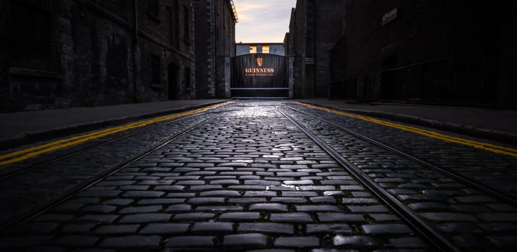
With its tall black pillars, gold lettering and instantly recognisable Guinness name, St James’s Gate is one of Dublin’s most photographed sights.…
Discover one of Ireland's most famous dolmens, the Poulnabrone dolmen! Located in County Clare, in south-west Ireland, in the heart of the…
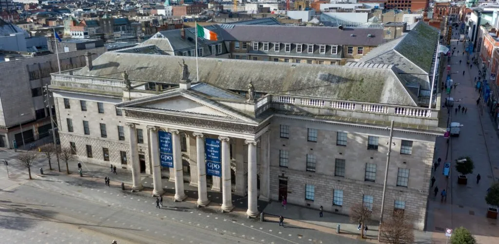
Six monumental columns dominate O’Connell Street. Bullet marks in their stone recall that, in April 1916, Dublin’s General Post Office was far…
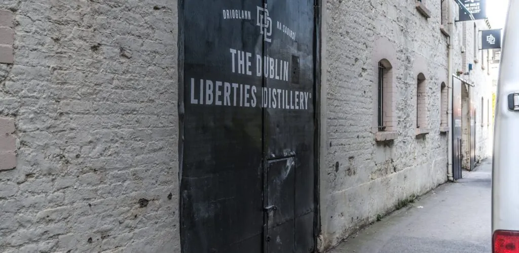
Right in the heart of Dublin lies the recently opened Dublin Liberties Distillery, a whiskey distillery that opens its doors to the…
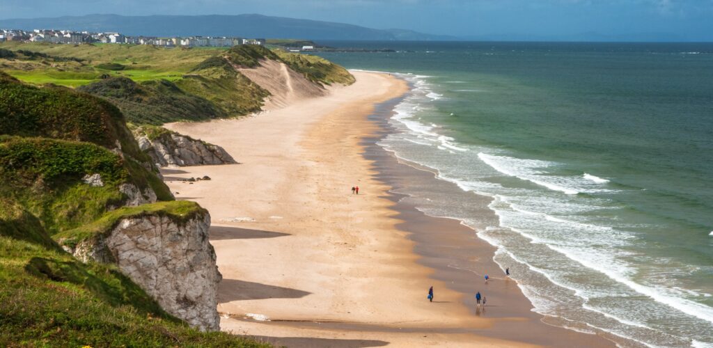
White Rocks Strand is a beach at Portrush in County Antrim, Northern Ireland. Its distinctive feature is its sparkling white rock cliffs,…
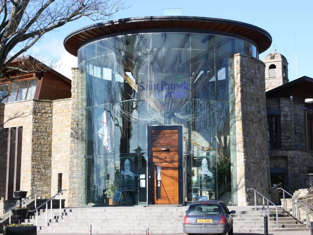
At the foot of Down Cathedral, in the historic centre of Downpatrick, the Saint Patrick Centre traces the life and legacy of…
At the heart of Belfast, a green dome rises above the buses, shopfronts and constant bustle of Donegall Square. Belfast City Hall,…
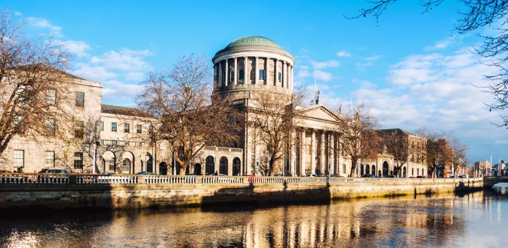
With its green dome, monumental portico and long façade facing the Liffey, Dublin’s Four Courts cut a striking figure in the heart…
What if you went over to the dark side and explored Dublin’s scariest places? This is the challenge of the Gravedigger Ghost…
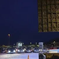
"The Carraroe Jig" is an iconic and captivating piece of traditional Irish music, frequently played in many a pub.
From the Mourne Mountains to Strangford Lough, historic County Down combines peaks, peninsulas, Saint Patrick heritage and Irish Sea coastline in south-eastern Northern Ireland.
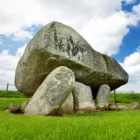 County Carlow
Discover
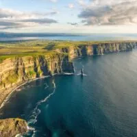 County Clare
Discover
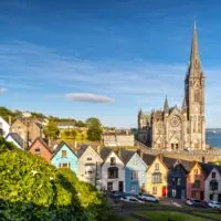 County Cork
Discover
 County Donegal
Discover
 County Dublin
Discover
 County Galway
Discover
 County Kerry
Discover
 County Kildare
Discover
 County Kilkenny
Discover
 County Laois
Discover
 County Leitrim
Discover
 County Limerick
Discover
 County Longford
Discover
 County Louth
Discover
 County Mayo
Discover
 County Meath
Discover
 County Monaghan
Discover
 County of Cavan
Discover
 County Offaly
Discover
 County Roscommon
Discover
 County Sligo
Discover
 County Tipperary
Discover
 County Waterford
Discover
 County Westmeath
Discover
Find a comfortable place to stay and make the most of your trip to Ireland.
Nearly four centuries after it was made, one of County Cork’s most precious religious objects is symbolically returning to its home territory.…
The historic County Down occupies the south-east of Northern Ireland, between Belfast Lough, Strangford Lough, the Irish Sea and the Mourne Mountains. Its territory brings together some of Northern Ireland’s most varied landscapes: granite mountains, peninsulas, drumlins, beaches, farmland and coastal villages. It also has considerable historical depth, from prehistory to traditions associated with Saint Patrick.
Like Northern Ireland’s other historic counties, Down no longer corresponds to a single local authority. Its territory is now divided between several districts. It is therefore preferable not to assign it a contemporary population figure as though it were still a current administrative unit.
For travellers, however, the name remains very useful: it brings together a coherent area stretching from Belfast’s eastern outskirts to the Mournes and the border with the Republic of Ireland.
The Mourne Mountains dominate southern Down. Slieve Donard, which reaches 850 metres, is Northern Ireland’s highest peak. The range combines granite summits, glacial valleys, reservoirs and landscapes open to the sea.
Newcastle is the main tourist base at the foot of the mountains. Silent Valley, the various summits and hiking routes have dedicated content on Guide-Irlande. This page should therefore present the Mournes as a major geographical area rather than detailing every route.
Since 2023, the Mournes have formed part of the Mourne Gullion Strangford UNESCO Global Geopark, an area that highlights more than 400 million years of geological history and combines mountains, glacial landscapes and coastal environments.
Strangford Lough is one of the county’s major features. This vast sea inlet is surrounded by glacial hills, wetlands, farmland and small settlements. Its ecological richness and landscapes give central-eastern Down an identity very different from that of the Mournes.
The Ards Peninsula stretches between the lough and the Irish Sea. Harbours, beaches and villages line its shores, while the crossing between Strangford and Portaferry connects the two sides of the lough without a lengthy road detour.
The area’s nature reserves, castles, estates and water-based activities should remain covered in greater detail on their dedicated pages.
Downpatrick holds a special place in Irish religious history. Tradition associates the town with Saint Patrick, whose grave is traditionally located near Down Cathedral. The Saint Patrick Centre and several nearby sites place this tradition in the context of early Christianity in Ireland.
However, the county should not be reduced to this heritage alone. Downpatrick is above all an anchor point linking Strangford Lough, the Lecale Peninsula and several archaeological and medieval sites.
Guide-Irlande already has pages dedicated to Down Cathedral, Saint Patrick’s grave and the Saint Patrick Centre: their historical details should remain in those articles.
In the south-east, the coast follows the Mournes before reaching Carlingford Lough. Newcastle combines a seaside resort with direct access to the mountains. Further south, Annalong, Kilkeel and Rostrevor make it possible to follow a coastline where the hills come very close to the sea.
Warrenpoint and Rostrevor look out over Carlingford Lough, which forms part of the border between Northern Ireland and the Republic of Ireland. This geographical continuity makes routes towards County Louth and the Cooley Peninsula easier.
Down has many prehistoric monuments, including dolmens, cairns and stone circles. Ballynoe Stone Circle, Annadorn, Audleystown and other sites testify to very early human settlement.
The Middle Ages also left numerous fortifications and religious buildings. Dundrum Castle, Audley’s Castle and the monuments of Downpatrick already have specialist pages. The taxonomy should therefore place them within their region rather than repeat their detailed history.
The UNESCO Global Geopark now links the Mourne Mountains, Strangford Lough and, further west, the Ring of Gullion in the historic County Armagh. It therefore does not coincide solely with County Down, but it provides a particularly interesting framework for understanding the geology of south-eastern Northern Ireland.
Glaciations, former oceanic masses, granite intrusions and coastal evolution explain a large part of the landscapes visible today. This international recognition strengthens the area’s appeal beyond its tourist sites alone.
Two or three days are enough to discover several sides of the county. One day can be devoted to the Mournes and Newcastle, another to Downpatrick and Strangford Lough. With more time, the Ards Peninsula, Carlingford Lough and the coastal villages can be added without rushing.
Belfast is a convenient gateway to the northern part of the area. However, a car remains the most flexible option for the Mournes, the peninsulas and rural sites. Public transport serves the main towns but is less suited to an itinerary linking several natural areas on the same day.
County Down is therefore best understood as a collection of complementary regions. The Mournes, Strangford Lough, Downpatrick and the coast each have their own identity; child pages can explore their sites in greater depth without competing with this page.